Thaurer Alm

Mountain Biking recommended route

Thaurer Alm

Mountain Biking · Hall-Wattens
Logo Tourismusverband Region Hall-Wattens
Responsible for this content
Tourismusverband Region Hall-Wattens Verified partner  Explorers Choice 
  • Aufwärts auf der gut zu fahrenden Schotterstraße
    Aufwärts auf der gut zu fahrenden Schotterstraße
    Photo: Anne W., Tourismusverband Region Hall-Wattens
m 1800 1600 1400 1200 1000 800 600 400 7 6 5 4 3 2 1 km Romediuskirchl
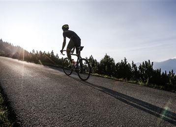
Professionals and amateurs stage a thrilling race here every year. Now it’s the turn of biking fans! Excellent views and an enchanting alpine hut on the Thaurer Alm
difficult
Distance 7.3 km
2:00 h
874 m
38 m
1,465 m
629 m
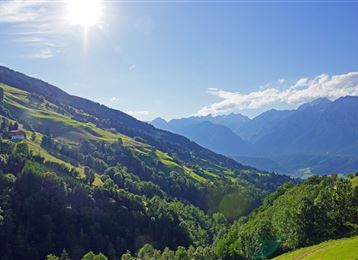
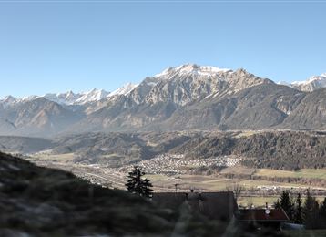
From Thaur up to the Thaurer Alm with beautiful views down to the Inntal.

Author’s recommendation

Evening tour with a sunset hike to the Kaisersäule or Thaurer Rosskopf!
Profile picture of Hall Wattens
Author
Hall Wattens
Update: July 01, 2022
Difficulty
difficult
Stamina
Experience
Landscape
Highest point
1,465 m
Lowest point
629 m
Best time of year
Jan
Feb
Mar
Apr
May
Jun
Jul
Aug
Sep
Oct
Nov
Dec

Track types

Show elevation profile

Rest stops

Thaurer Alm

Tips and hints

Thaurer Alm


Start

Gasthof Stangl (629 m)
Coordinates:
DD
47.293690, 11.471310
DMS
47°17'37.3"N 11°28'16.7"E
UTM
32T 686846 5240763
w3w 
///boosts.merge.paperbacks

Destination

Thaurer Alm

Turn-by-turn directions

Starting from the fountain outside Gasthof Stangl in the centre of Thaur, follow the "Thaurer Alm" route west to Marstanzboden where the asphalt road becomes a gravel track. This trail ends at the junction with the Adolf Pichler Trail, where the route is then signposted.

With a gradient of approximately 10% to 12%, the route now twists and turns through the forest, heading steadily uphill until you reach a barrier. This section will really put you to the test, with a gradient of up to 21%. But a reward is in store at the Thaurer Alm (1,464 m), with a refreshing drink and spectacular views! The return journey follows the same route.

Note


all notes on protected areas

Public transport

Public-transport-friendly

Es besteht die Möglichkeit mit der "Linie 501" von Hall i. Tirol bzw. Innsbruck ins Thaurer Dorfzentrum zu gelangen.

Nähere Informationen unter:

www.vvt.at

Getting there

Hall - Thaur

Parking

Bei der Apotheke in Thaur oder auf dem Thaurer Almparkplatz

Coordinates

DD
47.293690, 11.471310
DMS
47°17'37.3"N 11°28'16.7"E
UTM
32T 686846 5240763
w3w 
///boosts.merge.paperbacks
Arrival by train, car, foot or bike

Similar routes nearby

  • Transalp - Sektion Hall - Brenner
  • Herrenhäuser
  • Verbindung Bogner Aste - Gnadenwald
  • Mountainbiketour from Tulfes to the Rinner Alm
  • Tulfeinalm
  • From the Karlskirche to the Steinkasernalm
  • Hinterhornalm
 These suggestions were created automatically.
Difficulty
difficult
Distance
7.3 km
Duration
2:00 h
Ascent
874 m
Descent
38 m
Highest point
1,465 m
Lowest point
629 m
Public-transport-friendly Scenic Refreshment stops available

Statistics

  • Content
  • Show images Hide images
Features
Maps and trails
  • 1 Waypoints
  • 1 Waypoints
Distance  km
Duration : h
Ascent  m
Descent  m
Highest point  m
Lowest point  m
Push the arrows to change the view

Please wait

Accommodation is searched

Please be patient for a little more time

All data will be loaded in an instant