We use cookies for your personalized browsing experience, to personalize content and ads, to provide social media features, and to analyze traffic to our website. We also share information about your use of our website with our social media, advertising and analytics partners. Our partners may combine this information with other data that you have provided to them or that they have collected as part of your use of the Services. (incl. US providers)

Medium

Hinterhornalm

Road Cycling

22,11 km

02:05 h

966 hm

786 hm

1526 m

Best Time of Year

Jan

Feb

Mar

Apr

May

Jun

Jul

Aug

Sep

Oct

Nov

Dec

Information

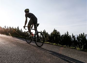
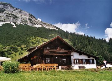
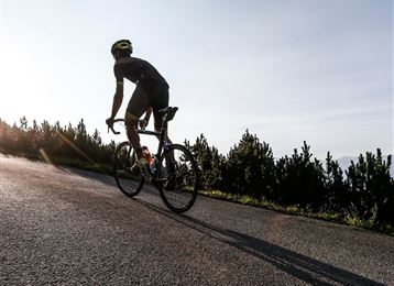
Von Hall geht es über Absam auf das Gnadenwalder Plateau. Hier biegen wir links ein in die Hinterhorn Mautstraße und treten nun knapp 600hm, Kurve um Kurve hinauf zur Hinterhornalm. Hier belohnt uns nicht nur der Ausblick, bis es wieder hinab nach Hall geht.

Features & Properties

Stamina

Experience

Skill

Landscape

Map & Elevation Profile

Arrival

Ausfahrt Hall Mitte

Similar Tour Suggestions
Innradweg Landeck - Hall

Medium

Bicycle Touring

89,72 km

06:30 h

83 hm

299 hm

801 m

Herrenhäuser

Hard

Mountain Biking

5,32 km

01:30 h

720 hm

1494 m

UCI Straßenrad WM 2018 Straßenrennen - Juniorinnen

Road Cycling

73,90 km

04:21 h

933 hm

872 hm

1024 m

Rinner Alm MTB Route 518

Medium

Mountain Biking

3,70 km

01:20 h

453 hm

1400 m

Die Inntalschaukel

Hard

Road Cycling

93,55 km

07:13 h

2473 hm

2464 hm

1379 m

Hinterhornalm

Hard

Mountain Biking

6,02 km

01:40 h

664 hm

39 hm

1524 m

UCI Straßenrad WM 20189 Straßenrennen - Herren U-23

Road Cycling

115,03 km

06:37 h

1344 hm

1261 hm

1024 m

Tulfer Mittelgebirgsrunde

Medium

Road Cycling

32,83 km

02:28 h

712 hm

1043 m