Hiking

Medium

Munich - Venice: From Tulfes to the Glungezer Hut

Long-Distance Hiking

15,87 km

05:00 h

1782 hm

99 hm

2606 m

Best Time of Year

Jan

Feb

Mar

Apr

May

Jun

Jul

Aug

Sep

Oct

Nov

Dec

Information

Ascent via Tulfes - Windegg - Halsmater - Tulfeinalm continuing to the Tulfeinjöchl past the Schaferhütte. Here you follow the panoramic trail along the ridge with views into the Voldertal to the summit.

Variant: 

Ascent up to Tulfeinalm.

Via the "Zirbenweg" you reach the Viggarspitze after a short time. From there, the path

Features & Properties

Stamina

Experience

Landscape

Map & Elevation Profile

Similar Tour Suggestions
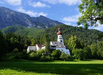
Der Hochmahdkopf

Medium

Hiking

Hiking route

8,13 km

04:00 h

963 hm

958 hm

1736 m

Glungezerbahn

Easy

Running

Nature Trail

1,77 km

00:35 h

76 hm

75 hm

1563 m

Start at the Glungezer

Hard

Hiking

Long-Distance Hiking

15,81 km

07:25 h

1059 hm

1651 hm

2794 m

Baumkirchen

Easy

Hiking

Hiking route

6,28 km

01:40 h

45 hm

69 hm

658 m

Issanger

Medium

Hiking

Hiking route

13,70 km

05:10 h

897 hm

1668 m

Adlerweg Logo

Hard

Hiking

Long-Distance Hiking

13,14 km

07:06 h

1949 hm

1448 hm

2498 m

Kasern

Medium

Hiking

Long-Distance Hiking

9,47 km

04:30 h

1067 hm

218 hm

2489 m

Bergsagen Weitwanderweg

Medium

Hiking

Long-Distance Hiking

13,76 km

04:30 h

237 hm

565 hm

1009 m