Biking

Easy

Inn Cycle Path

Bike Riding

31,85 km

02:30 h

32 hm

65 hm

575 m

Best Time of Year

Jan

Feb

Mar

Apr

May

Jun

Jul

Aug

Sep

Oct

Nov

Dec

Information

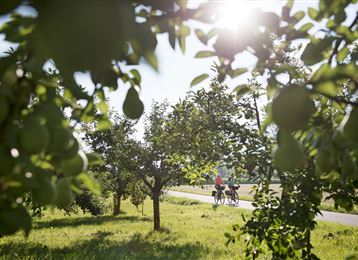
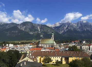
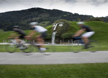
Three countries, famous cities, and impressive landscapes are connected by the Inn on its over 500 km long course from the Malojapass to the three-rivers city of Passau – one stage runs through the Hall-Wattens region.

Features & Properties

Stamina

Experience

Landscape

Map & Elevation Profile

Similar Tour Suggestions
Kurzer Sprint am Volderberg

Medium

Biking

Road Cycling

19,59 km

01:37 h

495 hm

494 hm

1040 m

Mountainbiketour von Tulfes zur Rinner Alm

Medium

Biking

Mountain Biking

5,65 km

01:55 h

488 hm

34 hm

1428 m

Die Inntalschaukel

Hard

Biking

Road Cycling

93,55 km

07:13 h

2473 hm

2464 hm

1379 m

Hall in Tirol

Medium

Biking

Mountain Biking

38,13 km

05:06 h

909 hm

397 hm

1090 m

Blick zum Hundskopf und Gnadenwalder Plateau

Medium

Biking

Über dem Inntal

Medium

Biking

Road Cycling

32,87 km

01:58 h

446 hm

866 m

Regionsrunde Hall-Wattens

Hard

Biking

Road Cycling

51,48 km

03:45 h

1317 hm

1314 hm

1043 m

Verbindung Bogner Aste - Gnadenwald

Easy

Biking