Hiking

Medium

Up to the Largoz

Hiking route

6,92 km

05:00 h

853 hm

852 hm

2204 m

Best Time of Year

Jan

Feb

Mar

Apr

May

Jun

Jul

Aug

Sep

Oct

Nov

Dec

Information

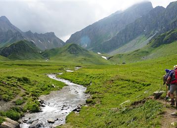
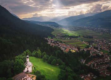
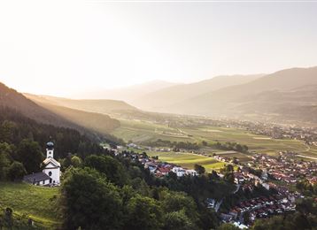
Up to the Largoz via the Largozalm and back via the Glotzenkreuz. Beautiful views of the Inn Valley and the opposite Karwendel.

Features & Properties

Stamina

Experience

Landscape

Map & Elevation Profile

Arrival

Volders - Großvolderberg - Krepperhütte

Similar Tour Suggestions
Lizumer Hütte, 2019m, Foto: Gerald Aichner

Hard

Hiking

Long-Distance Hiking

60,05 km

23:15 h

2969 hm

4345 hm

2794 m

Zirmweg

Medium

Hiking

In das Poltental

Easy

Hiking

Hiking route

8,10 km

02:00 h

213 hm

209 hm

1009 m

Start am Glungezer

Hard

Hiking

Long-Distance Hiking

15,81 km

07:25 h

1059 hm

1651 hm

2794 m

Milser Skulpturenweg

Easy

Running

Nature Trail

2,14 km

00:30 h

20 hm

652 m

Der Wegverlauf zwischen Haller und Thaurer Zunterkopf

Hard

Hiking

Hiking route

11,25 km

05:30 h

1272 hm

1271 hm

1963 m

Molyptänbergbau

Medium

Hiking

Long-Distance Hiking

11,24 km

06:30 h

851 hm

932 hm

2959 m

das Gipfelkreuz der "Roten Wand"

Medium

Hiking

Hiking route

12,31 km

05:30 h

980 hm

978 hm

2215 m