Hiking

Medium

From the Tulfeinalm to the peak of the Glungezer

Mountain Hike

8,66 km

04:00 h

754 hm

2676 m

Best Time of Year

Jan

Feb

Mar

Apr

May

Jun

Jul

Aug

Sep

Oct

Nov

Dec

Information

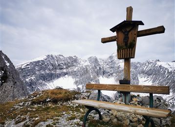
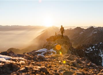
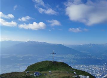
You can comfortably take the Glungezerbahn to the Tulfein mountain station. From here the hiking shoes are laced closer and you can reach the summit of the Glungezer with its impressive 360° view in 1.5h to 2h.

Features & Properties

Stamina

Experience

Landscape

Map & Elevation Profile

Arrival

Tulfes - Tulfes Glungezerbahn

Similar Tour Suggestions

Speckkarspitze

Hard

Hiking

Mountain Hike

21,49 km

09:00 h

2055 hm

2040 hm

2606 m

Through the Halltal to the peak of the Bettelwurf

Hard

Hiking

Mountain Hike

22,53 km

11:10 h

2192 hm

2206 hm

2716 m

Kalkwand Umrundung

Hard

Hiking

Mountain Hike

19,59 km

06:30 h

1194 hm

1802 hm

2516 m

From the Halltal to the Bettelwurf Mountain Hut

Hard

Hiking

Mountain Hike

18,31 km

09:00 h

1495 hm

2184 m

Glungezer Via Ferrata

Medium

Via Ferrata

Via Ferrata

2,03 km

02:00 h

448 hm

2604 m

Wattental - Möstal - Lizumer Mountain Hut

Medium

Hiking

Mountain Hike

19,72 km

06:30 h

1123 hm

1085 hm

2435 m

4 peak tour at the Glungezer panoramic trail

Hard

Hiking

Mountain Hike

14,58 km

05:00 h

1077 hm

1008 hm

2668 m

The blue lakes

Medium

Hiking

Mountain Hike

16,43 km

08:00 h

1507 hm

1512 hm

2637 m