Hiking

Medium

Entlang des Voldertalbaches zur Steinkasernalm

Hiking route

9,55 km

02:30 h

907 hm

24 hm

1999 m

Best Time of Year

Jan

Feb

Mar

Apr

May

Jun

Jul

Aug

Sep

Oct

Nov

Dec

Information

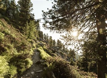
Wanderung vom Volderwildbad entlang des Voldertalbaches zum Naturfreundehaus Voldertalhütte und weiter hinein in das Tal bis zur Almsiedlung Steinkasern.

Features & Properties

Stamina

Experience

Landscape

Map & Elevation Profile

Arrival

A12 "Wattens" bis zum Kreisverkehr fahren - rechts abbiegen und geradeaus weiter - Richtung Volders abbiegen - nach ca. 30m links abbiegen und den Hinweisschildern folgend über Großvolderberg - Parkplatz Volderwildbad.

Similar Tour Suggestions

Through the Halltal to the natural jewel Issanger

Medium

Hiking

Hiking route

13,70 km

05:10 h

897 hm

1668 m

Panoramic views at the trail Hinterhornalm - Walderalm

Easy

Hiking

Historical circular walk

Easy

Running

Nature Trail

7,74 km

03:30 h

183 hm

666 m

Through the green Wattental to the Mölser Peak

Medium

Hiking

Hiking route

18,95 km

06:00 h

1129 hm

2478 m

Baumkirchner Tal

Easy

Hiking

Hiking route

8,42 km

02:20 h

215 hm

214 hm

820 m

Zwugl - Runde am Glungezer

Easy

Running

Nature Trail

1,77 km

00:35 h

76 hm

75 hm

1563 m

Thaurer Zunterkopf - the little neighbour of the Bettelwurf

Medium

Hiking

Hiking route

13,48 km

05:00 h

1304 hm

1303 hm

1915 m

Viggarspitze

Medium

Hiking

Hiking route

16,14 km

06:00 h

427 hm

1562 hm

2303 m