Hiking

Hard

The Neunerspitze round

Hiking route

10,87 km

04:00 h

794 hm

793 hm

2668 m

Best Time of Year

Jan

Feb

Mar

Apr

May

Jun

Jul

Aug

Sep

Oct

Nov

Dec

Information

The ascent begins initially with the Glungezer cable car, followed by the actual climb to the Neunerspitze. The return goes down the other mountain side via the Glungezer hut to the cable car.

Features & Properties

Stamina

Experience

Landscape

Map & Elevation Profile

Arrival

Exit Hall-Mitte - Tulfes

Similar Tour Suggestions
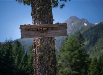
Schwarzbrunn

Medium

Hiking

Hiking route

11,83 km

02:00 h

510 hm

514 hm

1584 m

das Gipfelkreuz der "Roten Wand"

Medium

Hiking

Hiking route

12,31 km

05:30 h

980 hm

978 hm

2215 m

In das Poltental

Easy

Hiking

Hiking route

8,10 km

02:00 h

213 hm

209 hm

1009 m

St. Martin

Easy

Running

Nature Trail

3,78 km

01:05 h

130 hm

16 hm

908 m

Baumpfad

Easy

Running

Nature Trail

2,17 km

00:35 h

61 hm

67 hm

920 m

Von der Tulfeinalm auf den Schartenkogel

Medium

Hiking

Hiking route

4,26 km

02:00 h

273 hm

2309 m

Milser Skulpturenweg

Easy

Running

Nature Trail

2,14 km

00:30 h

20 hm

652 m

Hallerangerhaus

Hard

Hiking

Long-Distance Hiking

14,81 km

06:30 h

385 hm

1571 hm

2085 m