Der Goethe Weg in Tirol

Mountain Hike recommended route

Der Goethe Weg in Tirol

Mountain Hike · Region Innsbruck
Logo Tourismusverband Region Hall-Wattens
Responsible for this content
Tourismusverband Region Hall-Wattens Verified partner  Explorers Choice 
  • Goetheweg mit Blick auf Innsbruck
    Goetheweg mit Blick auf Innsbruck
    Photo: Tirol Werbung, Sebastian Shels, Tirol Werbung, Sebastian Shels
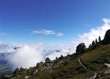
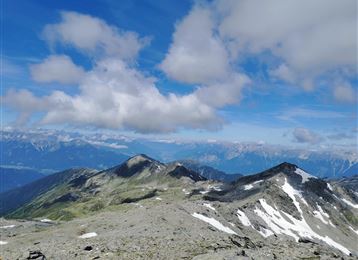
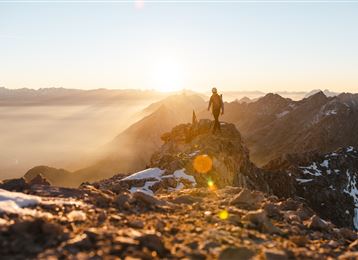
The Goethe Weg in Tyrol (not on the Brocken in the Harz mountains) starts at the top station of the Nordkettenbahn (Hafelekar) and leads along the ridge with several ascents and descents to the Pfeishütte (1922 m) and further through the Halltal valley to Absam
moderate
Distance 15.2 km
7:05 h
516 m
2,001 m
2,278 m
788 m

Author’s recommendation

Take enough water with you!
Profile picture of Anne W.
Author
Anne W. 
Update: March 31, 2023
Difficulty
moderate
Technique
Stamina
Experience
Landscape
Highest point
2,278 m
Lowest point
788 m
Best time of year
Jan
Feb
Mar
Apr
May
Jun
Jul
Aug
Sep
Oct
Nov
Dec

Track types

Asphalt 17.09%Dirt road 8.91%Path 73.99%
Asphalt
2.6 km
Dirt road
1.4 km
Path
11.2 km
Show elevation profile

Rest stops

Pfeis-Hütte
St. Magdalena

Safety information

Only walk in stable weather conditions!

Tips and hints

Pfeishütte

Nordkette

Start

Innsbruck, Hafelekar (2,275 m)
Coordinates:
DD
47.312093, 11.383803
DMS
47°18'43.5"N 11°23'01.7"E
UTM
32T 680167 5242602
w3w 
///deny.beaters.coining

Destination

Absam, Halltal

Turn-by-turn directions

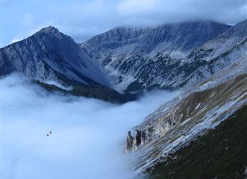
The Goethe Weg starts at the top station of the Nordkettenbahn (Hafelekar) and initially follows a relatively flat path below the Hafelekarspitze, Gleirschspitze and Mandlspitze. If you start with a view down to Innsbruck, the path then changes to the other side of the Nordkette and you can enjoy views down into the Karwendel.

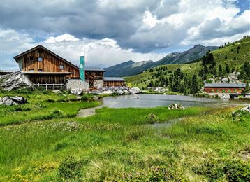
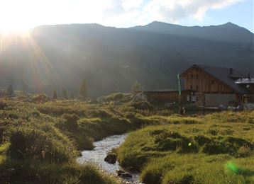
Then follows a short ascent to the Mandlscharte. From here the path leads downhill in serpentines to the Pfeishütte. The hut is open from mid-June to mid-October (overnight accommodation available). Here the Goethe Weg ends.

Then the trail continues over the Stempeljoch through the Halltal (manor houses, Berggasthof St. Magdalena) to the entrance to the Halltal to Absam (car park). Afterwards by car, bus or on foot back to the starting point. 

Alternative: Alternatively, you can descend via the Arzler Scharte or Arzler Reise or take the trail over the Kreuzjöchl down to the Vintlalm, past the Rumer Alm and back to the valley station of the Nordkettenbahn.

Public transport

Public-transport-friendly

Anreise nach Innsbruck zur Nordkettenbahn.

By road

Hall - Innsbruck Nordkettenbahn

Parking

Congress Innsbruck Parkgarage oder Hungerburgbahn

Coordinates

DD
47.312093, 11.383803
DMS
47°18'43.5"N 11°23'01.7"E
UTM
32T 680167 5242602
w3w 
///deny.beaters.coining
Arrival by train, car, foot or bike

Similar routes nearby

  • Kreuzjöchl - ein unscheinbarer Gipfel im Karwendel
  • Lippenkopf
  • Wildangerspitze
  • Der Wilde Bande Steig
  • Über die Zunterköpfe zur Kaisersäule
 These suggestions were generated by our system
Difficulty
moderate
Distance
15.2 km
Duration
7:05 h
Ascent
516 m
Descent
2,001 m
Highest point
2,278 m
Lowest point
788 m
Public-transport-friendly Multi-stage route Scenic Refreshment stops available Cableway ascent/descent Insider tip Linear route

Statistics

  • Content
  • Show images Hide images
Features
Maps and trails
  • 3 Waypoints
  • 3 Waypoints
Distance  km
Duration : h
Ascent  m
Descent  m
Highest point  m
Lowest point  m
Push the arrows to change the view

Please wait

Accommodation is searched

Please be patient for a little more time

All data will be loaded in an instant