Hiking

Medium

To the Walderjoch

Hiking route

12,80 km

04:30 h

741 hm

1630 m

Best Time of Year

Jan

Feb

Mar

Apr

May

Jun

Jul

Aug

Sep

Oct

Nov

Dec

Information

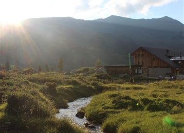
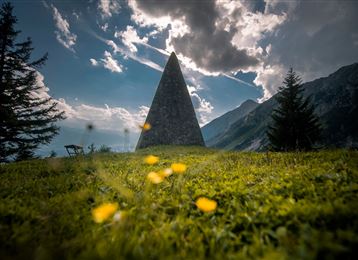
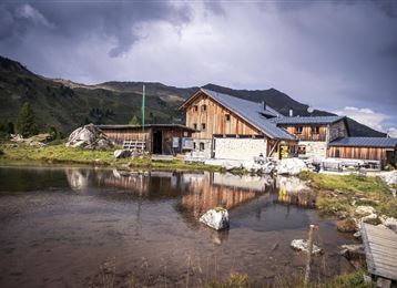
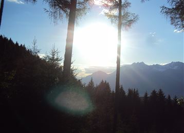
Not far from the Walderalm lies this quiet viewpoint on a beautiful clearing. The view into the Lower Inn Valley is breathtaking and the Vomperloch can also be explored from "above".

Features & Properties

Stamina

Experience

Landscape

Map & Elevation Profile

Arrival

Hall - Gnadenwald - St. Michael

Similar Tour Suggestions
Hochmoor

Hard

Hiking

Long-Distance Hiking

16,26 km

09:30 h

1440 hm

1460 hm

2636 m

Piepmatzweg

Easy

Running

Nature Trail

2,06 km

01:30 h

301 hm

873 m

Wurzelschellweg

Medium

Hiking

Hiking route

6,10 km

02:00 h

378 hm

892 m

Kaisersäule

Medium

Hiking

Hiking route

13,45 km

05:00 h

1179 hm

1058 hm

1804 m

Baumkirchen

Easy

Hiking

Hiking route

8,42 km

02:20 h

215 hm

214 hm

820 m

Ausblick Vintlalm Thaur Tirol

Medium

Hiking

Hiking route

13,76 km

05:00 h

1037 hm

1027 hm

1600 m

Romedius-Kirchlein

Easy

Hiking

Hiking route

2,61 km

01:00 h

166 hm

793 m

Kasern

Medium

Hiking

Long-Distance Hiking

9,47 km

04:30 h

1067 hm

218 hm

2489 m