Hiking

Medium

Through the green Wattental to the Mölser Berg

Hiking route

18,95 km

06:00 h

1129 hm

2478 m

Best Time of Year

Jan

Feb

Mar

Apr

May

Jun

Jul

Aug

Sep

Oct

Nov

Dec

Information

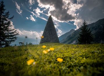
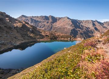
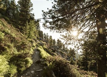
Beautiful hike at the end of the Wattental valley. With an easy ridge hike and to the deep blue Mölsersee!

Features & Properties

Stamina

Experience

Landscape

Map & Elevation Profile

Arrival

Wattens - Wattenberg - Wattental

Similar Tour Suggestions
Almwanderung Außermelang-Alm

Easy

Hiking

Hiking route

7,81 km

02:45 h

473 hm

1871 m

In das Poltental

Easy

Hiking

Hiking route

8,10 km

02:00 h

213 hm

209 hm

1009 m

Schlossruine und Romedikirchl

Easy

Hiking

Hiking route

11,29 km

03:00 h

360 hm

232 hm

953 m

Milser Skulpturenweg

Easy

Running

Nature Trail

2,14 km

00:30 h

20 hm

652 m

Voldertalhütte

Medium

Hiking

Ausblick Vintlalm Thaur Tirol

Medium

Hiking

Hiking route

13,76 km

05:00 h

1037 hm

1027 hm

1600 m

Richtung Rinner Alm

Medium

Hiking

Hiking route

11,12 km

04:00 h

759 hm

772 hm

1740 m

Bergsagen Weitwanderweg

Medium

Hiking

Long-Distance Hiking

13,76 km

04:30 h

237 hm

565 hm

1009 m