Hiking

Easy

The Way of St James in the Tyrol

Pilgrim Walk

16,02 km

04:15 h

359 hm

360 hm

920 m

Best Time of Year

Jan

Feb

Mar

Apr

May

Jun

Jul

Aug

Sep

Oct

Nov

Dec

Information

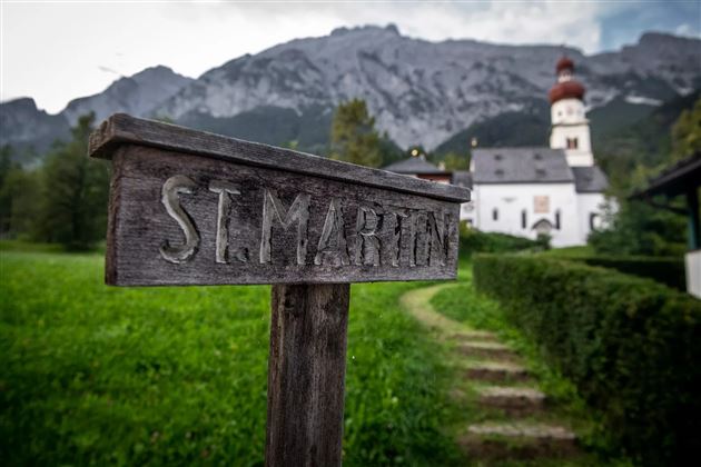
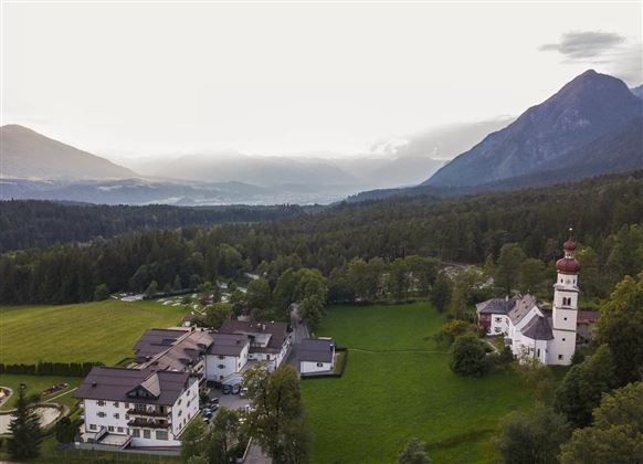
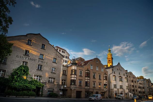
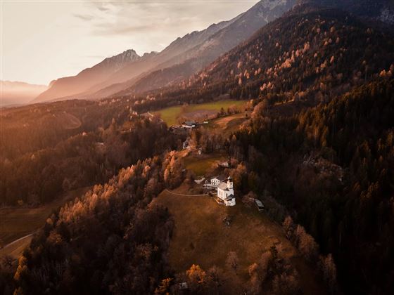
In our region, the Way of St. James leads from Gnadenwald via Absam to Hall. Continue via Thaur to Rum.

Features & Properties

Stamina

Experience

Landscape

Map & Elevation Profile

Arrival

Inntalautobahn A12 - Ausfahrt 171 Vomp - folgen Sie der Vomper Landesstraße/L222 bis Terfens

Similar Tour Suggestions

Die Runstboden Runde im Halltal

Easy

Hiking

Hiking route

4,59 km

01:30 h

186 hm

188 hm

916 m

Path of Contemplation

Easy

Running

Nature Trail

3,78 km

01:05 h

130 hm

16 hm

908 m

Medium

Hiking

Hiking route

6,43 km

02:00 h

287 hm

280 hm

1626 m

Milser Skulpturenweg

Easy

Running

Nature Trail

2,14 km

00:30 h

20 hm

652 m

Via Alpina - Red trail - From the Inn valley to the north - Naturpark Karwendel

Hard

Hiking

Stage 4 from Thaur to Gnadenwald

Medium

Hiking

Long-Distance Hiking

16,22 km

07:30 h

1309 hm

1056 hm

1804 m

The Eagles' Way (Adlerweg) – Alpine Roses, Stone Pines, Nutcrackers

Medium

Hiking

Long-Distance Hiking

7,83 km

02:25 h

201 hm

105 hm

2061 m

Über die Zunterköpfe oberhalb von Thaur

Hard

Hiking

Hiking route

11,25 km

05:30 h

1272 hm

1271 hm

1963 m