Winter tour to the Thaur castle ruins

Winter Hiking recommended route

Winter tour to the Thaur castle ruins

Winter Hiking · Hall-Wattens
Logo Tourismusverband Region Hall-Wattens
Responsible for this content
Tourismusverband Region Hall-Wattens Verified partner  Explorers Choice 
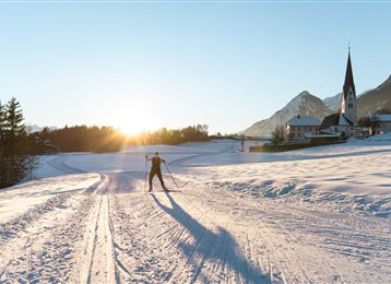
  • Thaurer Kirche
    Thaurer Kirche
    Photo: Hall Wattens, Tourismusverband Region Hall-Wattens
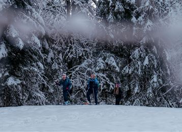
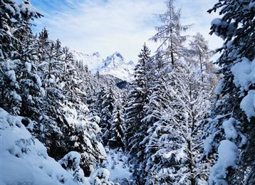
Sun-drenched tour above Thaur.
easy
Distance 1.7 km
0:43 h
211 m
2 m
837 m
627 m
Profile picture of Anne W.
Author
Anne W. 
Update: April 22, 2022
Difficulty
easy
Stamina
Experience
Landscape
Highest point
837 m
Lowest point
627 m
Best time of year
Jan
Feb
Mar
Apr
May
Jun
Jul
Aug
Sep
Oct
Nov
Dec

Track types

Asphalt 50.81%Forested/wild trail 46.62%Path 2.26%Road 0.30%
Asphalt
0.9 km
Forested/wild trail
0.8 km
Path
0 km
Road
0 km
Show elevation profile

Start

Thaur (626 m)
Coordinates:
DD
47.293635, 11.471476
DMS
47°17'37.1"N 11°28'17.3"E
UTM
32T 686859 5240758
w3w 
///changer.frazzled.meanwhile

Destination

Thaur

Turn-by-turn directions

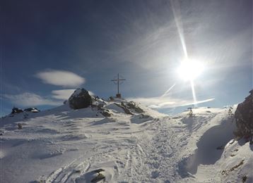
On the steep Kreuzweg with its grottos through the romantic archway to the little Romedius chapel (793 m). Beautiful views of the Inntal, low mountain range, Tuxer and Stubai Alps.


Alternative ascent: Langgasse - forest path - Marstanzboden to the Adolf Pichler path, right to the castle courtyard, castle ruins and Romedius chapel and back again.

Public transport

Public-transport-friendly

Bus 501, 502, 503

By road

Thaur

Parking

Various possibilities in the centre of Thaur

Coordinates

DD
47.293635, 11.471476
DMS
47°17'37.1"N 11°28'17.3"E
UTM
32T 686859 5240758
w3w 
///changer.frazzled.meanwhile
Arrival by train, car, foot or bike

Similar routes nearby

  • Varied hike along the Adolf Pichler Trail
  • Winterliche Runde am Runstboden
  • PREMIUM Pilgrimage Absam-Thaur
  • Besinnungsweg im Winter
  • Mils - Baumkirchen - Fritzens
  • Baumkirchner Tal
  • Teufelsmühle - Winterwanderung
 These suggestions were generated by our system
Difficulty
easy
Distance
1.7 km
Duration
0:43 h
Ascent
211 m
Descent
2 m
Highest point
837 m
Lowest point
627 m
Public-transport-friendly Scenic Family-friendly Cultural/historical interest Way cleared

Statistics

  • Content
  • Show images Hide images
Features
Maps and trails
Distance  km
Duration : h
Ascent  m
Descent  m
Highest point  m
Lowest point  m
Push the arrows to change the view

Please wait

Accommodation is searched

Please be patient for a little more time

All data will be loaded in an instant