Tulfeinalm

Mountain Biking recommended route

Tulfeinalm

Mountain Biking · Hall-Wattens
Logo Tourismusverband Region Hall-Wattens
Responsible for this content
Tourismusverband Region Hall-Wattens Verified partner  Explorers Choice 
  • Tulfes
    Tulfes
    Photo: Hall Wattens, Tourismusverband Region Hall-Wattens
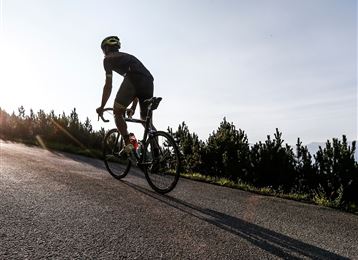
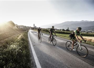
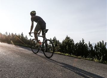
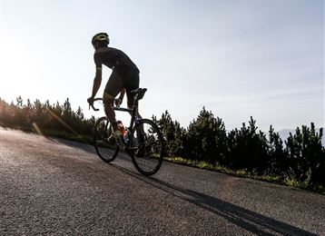
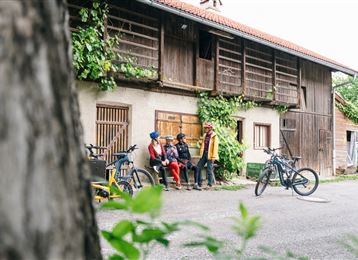
Home to skiers and snowboarders in winter, numerous hairpin bends and curves make for a challenging tour of asphalt roads and gravel tracks.Best of all: Countless rustic alpine huts and lodges along the route are perfect for taking a welcome breather and enjoying some culinary delicacies.
difficult
Distance 10.4 km
3:00 h
1,268 m
92 m
2,099 m
924 m

Author’s recommendation

Sunset tour!
Profile picture of Hall Wattens
Author
Hall Wattens
Update: July 07, 2023
Difficulty
difficult
Stamina
Experience
Landscape
Highest point
Tulfein Alm, 2,099 m
Lowest point
Tulfes, 924 m
Best time of year
Jan
Feb
Mar
Apr
May
Jun
Jul
Aug
Sep
Oct
Nov
Dec

Track types

Asphalt 33.03%Dirt road 66.33%Forested/wild trail 0.32%Path 0.18%Road 0.11%
Asphalt
3.4 km
Dirt road
6.9 km
Forested/wild trail
0 km
Path
0 km
Road
0 km
Show elevation profile

Safety information

Das befahren des Zirbenweges ist nicht gestattet!

Tips and hints

https://www.hall-wattens.at/de/mountainbiken-radfahren.html

Start

Tulfes - Glungezerbahn (923 m)
Coordinates:
DD
47.256976, 11.530417
DMS
47°15'25.1"N 11°31'49.5"E
UTM
32T 691447 5236827
w3w 
///raves.throats.wakes

Destination

Tulfeinalm

Turn-by-turn directions

Starting from the car park at the valley terminus of the Glungezerbahn mountain railway (940 m), a steep asphalt road heads off towards the mountains. The road twists and turns past Gasthof Windegg guest house, Neue Gufl inn and Tulfer Hütte alpine hut (1,337 m).

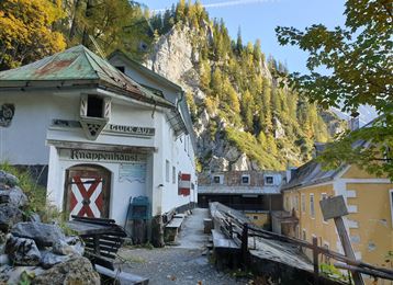
The asphalt section ends at Gluckserhütte alpine hut. A short stretch takes you across the ski slope before diving into the shadowy forest. You now continue uphill quite gently, but the trail soon becomes steeper. Follow the signs for “Tulfeinalm” until you reach Tulfein Alm at an altitude of 2,025 m.

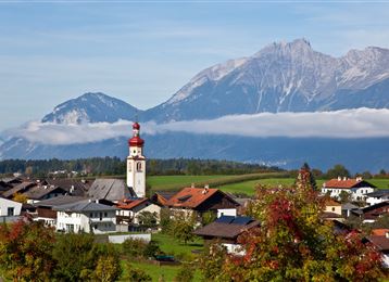
From here you have wonderful panoramic views of the Inntal Valley and Karwendel mountains. Depending on how you feel, you can choose to descend via one of the other numerous forest roads towards Tulfes.

Public transport

Public-transport-friendly

Es besteht die Möglichkeit mit der "Linie 540"  den Ausgangspunkt zu erreichen.

Nähere Information unter:

www.vvt.at

By road

 Hall - Tulfes

Parking

Direkt bei der Glungezerbahn

Coordinates

DD
47.256976, 11.530417
DMS
47°15'25.1"N 11°31'49.5"E
UTM
32T 691447 5236827
w3w 
///raves.throats.wakes
Arrival by train, car, foot or bike

Similar routes nearby

  • Mountainbiketour from Tulfes to the Rinner Alm
  • Transalp - Sektion Hall - Brenner
  • From the Karlskirche to the Steinkasernalm
  • Volders - Wattenberg GH Säge
  • Wattens - Jausenstation Gartlach Kolsassberg
  • Herrenhäuser
  • Thaurer Alm
 These suggestions were generated by our system
Difficulty
difficult
Distance
10.4 km
Duration
3:00 h
Ascent
1,268 m
Descent
92 m
Highest point
2,099 m
Lowest point
924 m
Public-transport-friendly Scenic Refreshment stops available

Statistics

  • Content
  • Show images Hide images
Features
Maps and trails
  • 1 Waypoints
  • 1 Waypoints
Distance  km
Duration : h
Ascent  m
Descent  m
Highest point  m
Lowest point  m
Push the arrows to change the view

Please wait

Accommodation is searched

Please be patient for a little more time

All data will be loaded in an instant