Tree path

Nature Trail recommended route

Tree path

Nature Trail · Hall-Wattens
Logo Tourismusverband Region Hall-Wattens
Responsible for this content
Tourismusverband Region Hall-Wattens Verified partner  Explorers Choice 
  • Photo: Hall Wattens, Tourismusverband Region Hall-Wattens
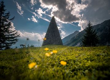
New themed path at the foot of the natural paradise Karwendel!
easy
Distance 2.3 km
0:47 h
65 m
71 m
922 m
872 m
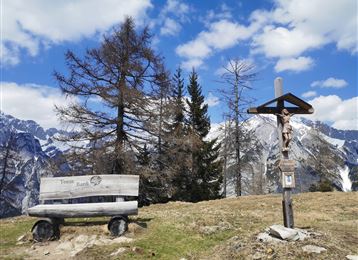
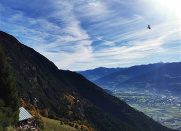
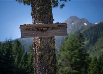
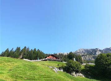
Between the monastery of St. Martin and St. Michael in Gnadenwald, the new tree path takes you on a journey of discovery: along the secluded edge of the forest, native shrubs are presented at 14 stations. You can learn a lot of new things about the trees and bushes in the Alpine region. Did you know, for example, that the well-known "Ötzi" made his bow and arrow out of the wood of the woolen snowball 5,300 years ago?
Profile picture of Anne W.
Author
Anne W. 
Update: January 31, 2022
Difficulty
easy
Technique
Stamina
Experience
Landscape
Highest point
922 m
Lowest point
872 m

Track types

Asphalt 3.28%Forested/wild trail 92.90%Path 0.57%Unknown 3.23%
Asphalt
0.1 km
Forested/wild trail
2.1 km
Path
0 km
Unknown
0.1 km
Show elevation profile

Rest stops

Cafe Pension Martinsstuben
Alpenhotel Speckbacherhof

Start

St. Martin, Gnadenwald 1 (895 m)
Coordinates:
DD
47.319591, 11.551686
DMS
47°19'10.5"N 11°33'06.1"E
UTM
32T 692828 5243837
w3w 
///pulleys.season.generals

Destination

St. Michael, Gnadenwald

Turn-by-turn directions

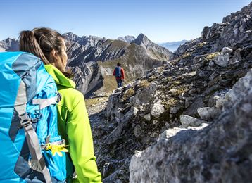
On the approximately three kilometer long path at the foot of the Karwendel massif. A Tyrolean draftswoman portrayed the leaves, flowers, fruit heads and fruits of every tree or shrub in great detail. Depending on the season, the different vegetation phases of the plants can be viewed from the drawings.

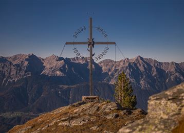
The altitudes for the spreading of the trees and shrubs and their flowering periods are also broken down. At each station you can also see the Karwendel range with its striking peaks Speckkarspitze (2,621 m), Großer Bettelwurf (2,726 m) and the Hundkopf (2,243 m). The Gnadenwalder Baumpfad can be walked in both directions; 45 to 60 minutes are required for one walking direction for the easy hike.

Public transport

Public-transport-friendly

Regionalbus Hall 3

By road

Hall - Gnadenwald - St. Martin

Parking

parking place at the beginning of the street to the Hinterhornalm

Coordinates

DD
47.319591, 11.551686
DMS
47°19'10.5"N 11°33'06.1"E
UTM
32T 692828 5243837
w3w 
///pulleys.season.generals
Arrival by train, car, foot or bike

Similar routes nearby

  • Path of Contemplation
  • Historic Salt Trail
  • Historical circular walk
  • Piepmatzweg
  • Zum Wasserradl
 These suggestions were generated by our system
Difficulty
easy
Distance
2.3 km
Duration
0:47 h
Ascent
65 m
Descent
71 m
Highest point
922 m
Lowest point
872 m
Public-transport-friendly

Statistics

  • Content
  • Show images Hide images
Features
Maps and trails
  • 2 Waypoints
  • 2 Waypoints
Distance  km
Duration : h
Ascent  m
Descent  m
Highest point  m
Lowest point  m
Push the arrows to change the view

Please wait

Accommodation is searched

Please be patient for a little more time

All data will be loaded in an instant