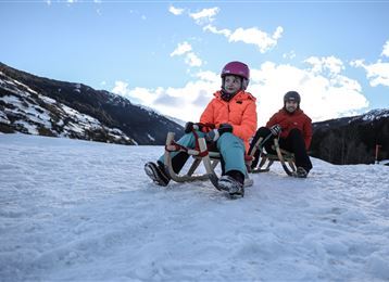
Tobboganing in the Halltal

Sledding recommended route

Tobboganing in the Halltal

Sledding · Hall-Wattens
Logo Tourismusverband Region Hall-Wattens
Responsible for this content
Tourismusverband Region Hall-Wattens Verified partner  Explorers Choice 
  • Halltal
    Halltal
    Photo: Anne W., Tourismusverband Region Hall-Wattens
The toboggan run starts at the Gasthaus St. Magdalena and is reliably cleared
moderate
Distance 4.8 km
1:30 h
543 m
27 m
1,315 m
773 m
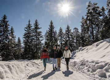
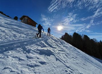
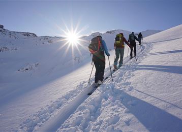
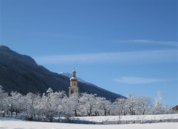
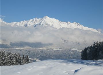
Even during the ascent, the Hall Valley leaves nothing to be desired. The vertically falling mountains could hardly be more impressive! The path goes deeper and deeper until you reach the Gasthaus St. Magdalena.
Profile picture of Anne W.
Author
Anne W. 
Update: December 21, 2020
Difficulty
moderate
Stamina
Experience
Landscape
Highest point
1,315 m
Lowest point
773 m
Best time of year
Jan
Feb
Mar
Apr
May
Jun
Jul
Aug
Sep
Oct
Nov
Dec

Track types

Asphalt 98.15%Path 1.85%
Asphalt
4.7 km
Path
0.1 km
Show elevation profile

Rest stops

St. Magdalena

Safety information

Please note the avalanche barrier!

In general it has to be said that this toboggan run is rather one of the steep and fast runs and is not recommended for absolute beginners.

Start

Coordinates:
DD
47.307901, 11.518660
DMS
47°18'28.4"N 11°31'07.2"E
UTM
32T 690375 5242457
w3w 
///agrees.unburied.wowing

Turn-by-turn directions

From the Halltal car park you enter the Halltal valley. Continue along the toboggan run until you reach the Gasthaus St. Magdalena.

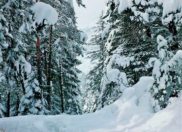
Despite its low location, the toboggan run in the middle/upper part is quite snow-sure, as the sun doesn't often find its way into the Halltal in winter.


From the same car park there is the alternative, much shorter Runstboden toboggan run, which is closed less often. The Runstboden toboggan run is the left-hand run when looking uphill from the car park and the Halltal toboggan run is the right-hand run.

Public transport

Public-transport-friendly

With the line 502 or 503 to "Bettelwurfsiedlung"

By road

Hall - Absam - Parkplatz Halltal

Parking

Free parking at the Halltal entrance

Coordinates

DD
47.307901, 11.518660
DMS
47°18'28.4"N 11°31'07.2"E
UTM
32T 690375 5242457
w3w 
///agrees.unburied.wowing
Arrival by train, car, foot or bike

Similar routes nearby

  • Tobboganing at Runstboden
  • A toboggan run suitable for families to the Hinterhornalm
  • Illuminated natural tobbogan run at Vögelsberg
  • Tobboganing Volderberg
  • Tobboganing Kreuztaxen
 These suggestions were generated by our system
Difficulty
moderate
Distance
4.8 km
Duration
1:30 h
Ascent
543 m
Descent
27 m
Highest point
1,315 m
Lowest point
773 m
Public-transport-friendly Refreshment stops available Linear route

Statistics

  • Content
  • Show images Hide images
Features
Maps and trails
  • 1 Waypoints
  • 1 Waypoints
Distance  km
Duration : h
Ascent  m
Descent  m
Highest point  m
Lowest point  m
Push the arrows to change the view

Please wait

Accommodation is searched

Please be patient for a little more time

All data will be loaded in an instant