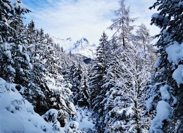
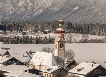
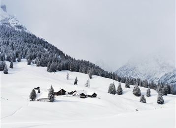
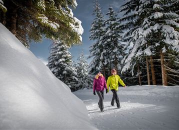
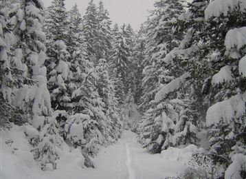
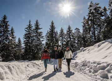
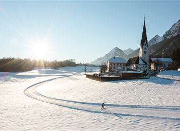
Tobboganing at Runstboden

Sledding recommended route

Tobboganing at Runstboden

Sledding · Hall-Wattens
Logo Tourismusverband Region Hall-Wattens
Responsible for this content
Tourismusverband Region Hall-Wattens Verified partner  Explorers Choice 
  • am oberen Ende der Rodelbahn
    am oberen Ende der Rodelbahn
    Photo: Anne W., Tourismusverband Region Hall-Wattens
Tobogganing in the Hall valley for the whole family. Winding and varied, but never particularly steep - the ideal terrain for a toboggan trip involving young and old
easy
Distance 1.3 km
0:45 h
131 m
4 m
932 m
802 m

Author’s recommendation

Not only a great alternative when the Halltal is blocked by avalanches!
Profile picture of Hall Wattens
Author
Hall Wattens
Update: March 30, 2023
Difficulty
easy
Stamina
Experience
Landscape
Highest point
932 m
Lowest point
802 m
Best time of year
Jan
Feb
Mar
Apr
May
Jun
Jul
Aug
Sep
Oct
Nov
Dec

Track types

Show elevation profile

Rest stops

Alpengasthof Walderbrücke

Tips and hints

http://www.hall-wattens.at/de/ski-und-schneebericht.html 

http://www.winterrodeln.org/wiki/Nordtirol

Start

Hackl – Eingang Halltal - Absam (805 m)
Coordinates:
DD
47.309070, 11.519400
DMS
47°18'32.7"N 11°31'09.8"E
UTM
32T 690426 5242589
w3w 
///forestry.sculptures.logbook

Destination

Hackl – Eingang Halltal - Absam

Turn-by-turn directions

At the entrance to the Hall valley, above Absam, a few metres after the barrier, the route runs along the path which branches off to the left. Then a short, steep climb, before the toboggan run gradient moderates and then slowly and gently gains in height. It becomes steeper after the bend, as it continues towards Runstboden. From here it gets more winding, until you reach a bank with the club-house hut. The descent now follows the uphill route.

Public transport

Public-transport-friendly

It is possible to reach the toboggan run with "Bus 502".

The station Eichat Bettelwurfsiedlung is 5 minutes walk from the starting point.

Parking

Parkplatz in Absam - Eingang ins Halltal

Coordinates

DD
47.309070, 11.519400
DMS
47°18'32.7"N 11°31'09.8"E
UTM
32T 690426 5242589
w3w 
///forestry.sculptures.logbook
Arrival by train, car, foot or bike

Equipment

Rodel werden verliehen von:

Sport Perktold 

Innsbrucker Straße 19

6112 Wattens

Tel.: +43 664 2617138

Skischule und - verleih Total

Glungezerstraße 17

 6075 Tulfes

 Tel.: +43 (0)5223 78483

Similar routes nearby

  • Tobboganing in the Halltal
  • A toboggan run suitable for families to the Hinterhornalm
  • Illuminated natural tobbogan run at Vögelsberg
  • Tobboganing Volderberg
  • Tobboganing Kreuztaxen
  • Rodelbahn am Glungezer
  • Tobogganing in the Mölstal/Wattenberg
 These suggestions were generated by our system
Difficulty
easy
Distance
1.3 km
Duration
0:45 h
Ascent
131 m
Descent
4 m
Highest point
932 m
Lowest point
802 m
Public-transport-friendly Family-friendly Insider tip

Statistics

  • Content
  • Show images Hide images
Features
Maps and trails
  • 2 Waypoints
  • 2 Waypoints
Distance  km
Duration : h
Ascent  m
Descent  m
Highest point  m
Lowest point  m
Push the arrows to change the view

Please wait

Accommodation is searched

Please be patient for a little more time

All data will be loaded in an instant