Hiking

Medium

St. Martin - Hinterhornalm - Walderalm

Hiking route

5,56 km

02:30 h

700 hm

107 hm

1532 m

Best Time of Year

Jan

Feb

Mar

Apr

May

Jun

Jul

Aug

Sep

Oct

Nov

Dec

Information

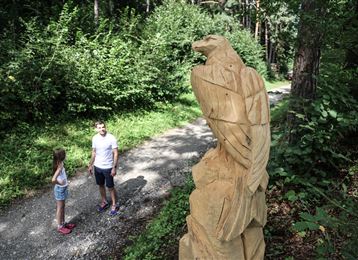
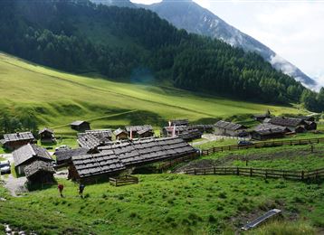
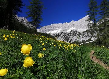
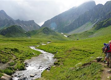
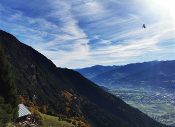
From the Gnadenwald plateau you walk to the Hinterhornalm and on to the Gandenwalder Alm plateau. With a bit of luck you might see more than one golden eagle on the hike.

Features & Properties

Stamina

Experience

Landscape

Map & Elevation Profile

Similar Tour Suggestions
Via Alpina - Red trail - From the Inn valley to the north - Naturpark Karwendel

Hard

Hiking

Medium

Hiking

Hiking route

6,43 km

02:00 h

287 hm

280 hm

1626 m

Senselerweg: Zehenter Alm über Naviser Kreuzjoch bis Toldern

Medium

Hiking

Hiking route

14,68 km

06:30 h

882 hm

1250 hm

2516 m

Hinauf auf den Largoz

Medium

Hiking

Hiking route

6,92 km

05:00 h

853 hm

852 hm

2204 m

Stage 3 from Tulfes to Thaur

Medium

Hiking

Long-Distance Hiking

13,76 km

04:30 h

237 hm

565 hm

1009 m

Milser Skulpturenweg

Easy

Running

Nature Trail

2,14 km

00:30 h

20 hm

652 m

The Eagles´ Trail – From mountain solitude into the town (12)

Hard

Hiking

Long-Distance Hiking

13,14 km

07:06 h

1949 hm

1448 hm

2498 m