Snowshoeing up to the Glungezerhut

Snowshoe walking recommended route

Snowshoeing up to the Glungezerhut

Snowshoe walking · Hall-Wattens
Logo Tourismusverband Region Hall-Wattens
Responsible for this content
Tourismusverband Region Hall-Wattens Verified partner  Explorers Choice 
  • Los geht`s!
    Los geht`s!
    Photo: Hall Wattens, Tourismusverband Region Hall-Wattens

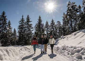
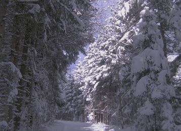
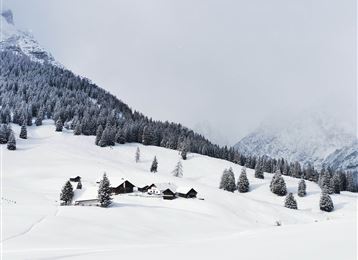
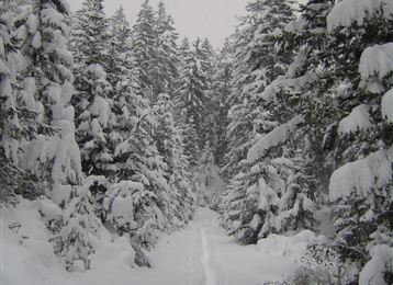
Beautiful snowshoe hiking to the Glungezer


moderate
Distance 3 km
2:30 h
566 m
13 m
2,603 m
2,037 m
Profile picture of Anne W.
Author
Anne W. 
Update: May 12, 2023
Difficulty
moderate
Stamina
Experience
Landscape
Highest point
2,603 m
Lowest point
2,037 m
Best time of year
Jan
Feb
Mar
Apr
May
Jun
Jul
Aug
Sep
Oct
Nov
Dec

Track types

Dirt road 29.65%Path 9.62%Unknown 60.71%
Dirt road
0.9 km
Path
0.3 km
Unknown
1.8 km
Show elevation profile

Rest stops

Glungezer-Hut

Start

Glungezer Cable Car (2,050 m)
Coordinates:
DD
47.226391, 11.530038
DMS
47°13'35.0"N 11°31'48.1"E
UTM
32T 691528 5233427
w3w 
///squishiest.schoolyard.keeper

Destination

Glungezerhütte

Turn-by-turn directions

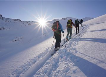
We take the Glungezer cable car up the mountain to Halsmater (1567m). From Halsmater we start the snowshoe hike gently up along the ski slope till we reach the Tulfein Alm.

From the Tulfein Alm over clear slopes or left hand side up to the Schartenkogel (2.311m) and along the southern crest to the Glungezerhut (2.610m) or the Glungezer (2.677m). Up here you have got a fantastic view to 500 peaks, mountain ridges and down to the Inntal and the Karwendel.


By road

Tulfes

Parking

Glungezer Cable Car

Coordinates

DD
47.226391, 11.530038
DMS
47°13'35.0"N 11°31'48.1"E
UTM
32T 691528 5233427
w3w 
///squishiest.schoolyard.keeper
Arrival by train, car, foot or bike

Equipment

Winter equipment, snowshoes

Similar routes nearby

  • Snowshoe- Hike from the Glungezer to the Patscherkofel
  • With snowshoes from the Glungezer to the Kreuzspitze
  • Tulfer Waldweg "Schöne Aussicht"
  • To the little alp village
  • Snowshoeing from Wattens to Gasthof Vögelsberg
 These suggestions were generated by our system
Difficulty
moderate
Distance
3 km
Duration
2:30 h
Ascent
566 m
Descent
13 m
Highest point
2,603 m
Lowest point
2,037 m
Scenic Refreshment stops available Summit route Clear area Linear route

Statistics

  • Content
  • Show images Hide images
Features
Maps and trails
  • 1 Waypoints
  • 1 Waypoints
Distance  km
Duration : h
Ascent  m
Descent  m
Highest point  m
Lowest point  m
Push the arrows to change the view

Please wait

Accommodation is searched

Please be patient for a little more time

All data will be loaded in an instant