Runstboden Circuit

Nordic Walking recommended route

Runstboden Circuit

Nordic Walking · Hall-Wattens
Logo Tourismusverband Region Hall-Wattens
Responsible for this content
Tourismusverband Region Hall-Wattens Verified partner  Explorers Choice 
  • Gams im Halltal
    Gams im Halltal
    Photo: Hall Wattens, Tourismusverband Region Hall-Wattens
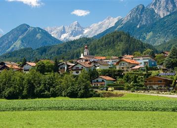
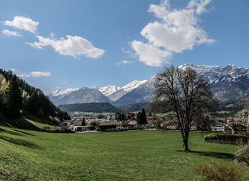
Passing the ski jump in the middle of the forest at the entrance to the Halltal Valley, this challenging and varied route takes hikers to the Runstboden, which boasts magnificent views
moderate
Distance 7.3 km
1:40 h
324 m
329 m
921 m
725 m
A short way through the Halltal

Author’s recommendation

Die Aussicht zwischendurch genießen!
Profile picture of Hall Wattens
Author
Hall Wattens
Update: August 16, 2018
Difficulty
moderate
Stamina
Experience
Landscape
Highest point
921 m
Lowest point
725 m
Best time of year
Jan
Feb
Mar
Apr
May
Jun
Jul
Aug
Sep
Oct
Nov
Dec

Track types

Show elevation profile

Tips and hints

www.hall-wattens.at

Start

Mils, Bogner Aste (807 m)
Coordinates:
DD
47.311060, 11.532610
DMS
47°18'39.8"N 11°31'57.4"E
UTM
32T 691418 5242842
w3w 
///version.tracers.panel

Destination

Mils, Bogner Aste

Turn-by-turn directions

Starting from the Bogner Aste car park, the Runstboden circuit leads towards Halltal Valley.

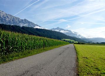
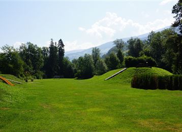
Passing the forest playground and hidden ski jump, the route continues further into the Halltal Valley. You finally reach the other side of the valley at the Bergerkapelle chapel. The route briefly takes you onto a path which is used as a toboggan run in winter. After this you follow a picturesque route across the Runstboden. Above the Andreas Hofer barracks, the route returns to the shooting range and back to Bogner Aste above the Walderbrücke valley area.

Public transport

Public-transport-friendly

Es besteht die Möglichkeit mit der "Linie 8370" von Hall und Innsbruck die Strecke direkt zu erreichen.

Die Station Mils Abzw. Planitz befindet sich ca. 10 Gehminuten entfernt vom Start der Strecke.

By road

Hall Mitte - Absam - Richtung Gnadenwald

Parking

Parkplatz Bogner Aste

Coordinates

DD
47.311060, 11.532610
DMS
47°18'39.8"N 11°31'57.4"E
UTM
32T 691418 5242842
w3w 
///version.tracers.panel
Arrival by train, car, foot or bike

Similar routes nearby

  • Connection route Bogner Aste - Thaur
  • Gnadenwald circuit
  • Haslach circuit
  • Baumkirchner forest circuit
  • Weissenbach circuit
 These suggestions were generated by our system
Difficulty
moderate
Distance
7.3 km
Duration
1:40 h
Ascent
324 m
Descent
329 m
Highest point
921 m
Lowest point
725 m
Public-transport-friendly Round trip Scenic

Statistics

  • Content
  • Show images Hide images
Features
Maps and trails
  • 2 Waypoints
  • 2 Waypoints
Distance  km
Duration : h
Ascent  m
Descent  m
Highest point  m
Lowest point  m
Push the arrows to change the view

Please wait

Accommodation is searched

Please be patient for a little more time

All data will be loaded in an instant