Romedius Church Circuit

Nordic Walking recommended route

Romedius Church Circuit

Nordic Walking · Hall-Wattens
Logo Tourismusverband Region Hall-Wattens
Responsible for this content
Tourismusverband Region Hall-Wattens Verified partner  Explorers Choice 
  • Schlossruine und Romedikirchl
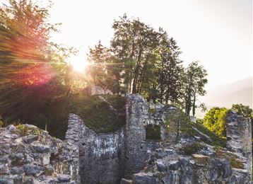
    Schlossruine und Romedikirchl
    Photo: Hall Wattens, Tourismusverband Region Hall-Wattens
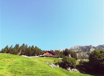
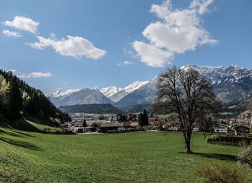
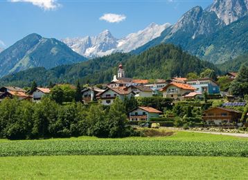
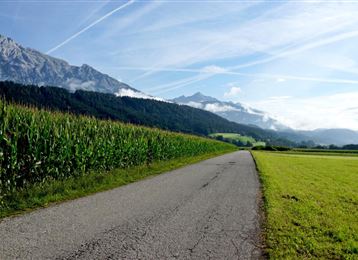
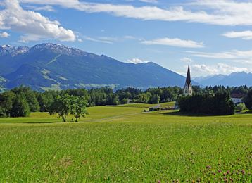
Suitable for those with stamina, the route travels along beautiful forest and meadow trails to the village of Thaur with a steep climb up to the Romedius Church.
difficult
Distance 5.5 km
1:15 h
245 m
245 m
906 m
662 m
The circuit designed for fit runners and Nordic walkers initially heads toward Canisiusbründl along beautiful forest and meadow trails and across fields to Thaur.

Author’s recommendation

Die Aussicht am Romediuskirchl ins Inntal genießen!
Profile picture of Hall Wattens
Author
Hall Wattens
Update: September 26, 2023
Difficulty
difficult
Stamina
Experience
Landscape
Highest point
906 m
Lowest point
662 m
Best time of year
Jan
Feb
Mar
Apr
May
Jun
Jul
Aug
Sep
Oct
Nov
Dec

Track types

Asphalt 8.20%Forested/wild trail 85.08%Path 6.70%
Asphalt
0.4 km
Forested/wild trail
4.6 km
Path
0.4 km
Show elevation profile

Tips and hints

http://www.hall-wattens.at/


Start

Thaur - Adolf Pichler Weg (665 m)
Coordinates:
DD
47.295028, 11.467051
DMS
47°17'42.1"N 11°28'01.4"E
UTM
32T 686519 5240902
w3w 
///thawing.reactivate.gloss

Destination

Thaur - Adolf Pichler Weg

Turn-by-turn directions

Once you reach Thaur, you take the attractive but steep route through the meadows above the village to the Romedius Church and continue on to the ruins of the once mighty castle known as Schloss Thaur. From there you can head back to the starting point.

Public transport

Public-transport-friendly

Es besteht die Möglichkeit mit der "Linie 501" von Hall i. Tirol bzw. Innsbruck ins Thaurer Dorfzentrum zu gelangen.

Von dort sind es circa 10 Gehminuten bis zum Ausgangspunkt.

Nähere Informationen unter:

www.vvt.at

By road

Hall - Thaur

Parking

Am Ausgangspunkt befinden sich Parkmöglichkeiten.

Coordinates

DD
47.295028, 11.467051
DMS
47°17'42.1"N 11°28'01.4"E
UTM
32T 686519 5240902
w3w 
///thawing.reactivate.gloss
Arrival by train, car, foot or bike

Similar routes nearby

  • Tempo Course
  • Guggerinsel Circuit
  • Baumkirchner forest circuit
  • Weissenbach circuit
  • Haslach circuit
 These suggestions were generated by our system
Difficulty
difficult
Distance
5.5 km
Duration
1:15 h
Ascent
245 m
Descent
245 m
Highest point
906 m
Lowest point
662 m
Public-transport-friendly Round trip Scenic

Statistics

  • Content
  • Show images Hide images
Features
Maps and trails
Distance  km
Duration : h
Ascent  m
Descent  m
Highest point  m
Lowest point  m
Push the arrows to change the view

Please wait

Accommodation is searched

Please be patient for a little more time

All data will be loaded in an instant