Regionsrunde Hall-Wattens

Road Cycling recommended route

Regionsrunde Hall-Wattens

Road Cycling · Hall-Wattens
Logo Tourismusverband Region Hall-Wattens
Responsible for this content
Tourismusverband Region Hall-Wattens Verified partner  Explorers Choice 
  • Photo: Hall Wattens, Tourismusverband Region Hall-Wattens
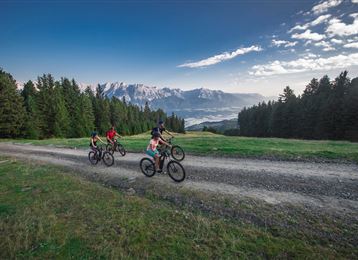
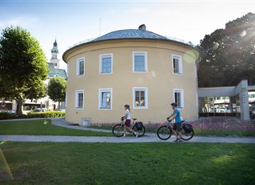
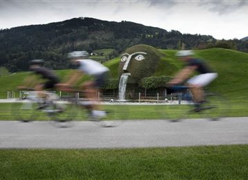
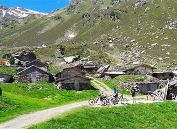
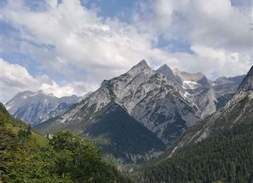
Auf dieser Runde lernen Sie unsere Region kennen. Zum Großteil geht es auf Nebenstraßen entlang mit wunderbaren Ausblicken und durch einige Dörfer der Region.
difficult
Distance 51.5 km
3:45 h
1,317 m
1,314 m
1,043 m
548 m

Wir starten in Hall in Tirol und fahren zuerst ein Stück Richtung Westen, bis wir einen kurzen Anstieg nach Thaur meistern. Weiter geht es oberhalb von Absam auf das Gnadenwalder Plateau.

Von hier geht es in einer zügigen Abfahrt hinunter nach Fritzens und Wattens. Gleich wieder herauf am Großvolderberg und über Kleinvolderberg weiter auf das Tulfer Plateau.

Hier geht es über Rinn und Aldrans weiter und über Ampass retour nach Hall.

Profile picture of Anne W.
Author
Anne W. 
Update: May 18, 2018
Difficulty
difficult
Stamina
Experience
Landscape
Highest point
1,043 m
Lowest point
548 m
Best time of year
Jan
Feb
Mar
Apr
May
Jun
Jul
Aug
Sep
Oct
Nov
Dec

Track types

Show elevation profile

Start

Hall in Tirol (560 m)
Coordinates:
DD
47.279932, 11.506253
DMS
47°16'47.8"N 11°30'22.5"E
UTM
32T 689537 5239319
w3w 
///sang.ants.tycoons

Destination

Hall in Tirol

Public transport

Public-transport-friendly

Mit der SBahn oder dem Bus nach Hall

By road

Ausfahrt Hall Mitte

Parking

Ausreichend Parkmöglichkeiten in den Parkgaragen in Hall

Coordinates

DD
47.279932, 11.506253
DMS
47°16'47.8"N 11°30'22.5"E
UTM
32T 689537 5239319
w3w 
///sang.ants.tycoons
Arrival by train, car, foot or bike

Similar routes nearby

  • Tulfer Mittelgebirgsrunde
  • Über dem Inntal
  • Wipptaler Runde
  • Wattener Runde
  • Über die MARTHA Dörfer und das Tulfer Plateau
 These suggestions were generated by our system
Difficulty
difficult
Distance
51.5 km
Duration
3:45 h
Ascent
1,317 m
Descent
1,314 m
Highest point
1,043 m
Lowest point
548 m
Public-transport-friendly Round trip Scenic Refreshment stops available Cultural/historical interest Insider tip

Statistics

  • Content
  • Show images Hide images
Features
Maps and trails
Distance  km
Duration : h
Ascent  m
Descent  m
Highest point  m
Lowest point  m
Push the arrows to change the view

Please wait

Accommodation is searched

Please be patient for a little more time

All data will be loaded in an instant