Hiking

Medium

On the panoramic Hochmahdkopf

Hiking route

8,13 km

04:00 h

963 hm

958 hm

1736 m

Best Time of Year

Jan

Feb

Mar

Apr

May

Jun

Jul

Aug

Sep

Oct

Nov

Dec

Information

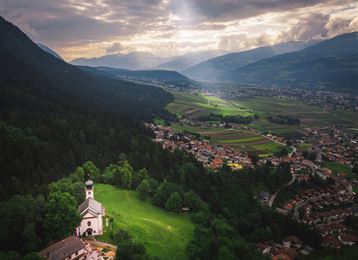
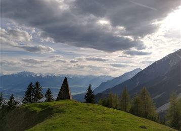
This hike up to the Hochmahdkopf is a steep ascent and a somewhat more pleasant descent to the Alpengasthof St. Magdalena.

Features & Properties

Stamina

Experience

Landscape

Map & Elevation Profile

Arrival

Hall - Absam - Halltal Parkplatz

Similar Tour Suggestions

Die Runstboden Runde im Halltal

Easy

Hiking

Hiking route

4,59 km

01:30 h

186 hm

188 hm

916 m

Maria Larch Quelle

Medium

Hiking

Hiking route

10,15 km

02:30 h

316 hm

832 m

Wurzelschellweg

Medium

Hiking

Hiking route

6,10 km

02:00 h

378 hm

892 m

Der Doppelgipfel der Naviser Sonnenspitze

Hard

Hiking

Hiking route

22,93 km

08:00 h

1516 hm

1514 hm

2617 m

Walderalm

Hard

Hiking

Hiking route

15,42 km

04:00 h

662 hm

672 hm

1502 m

Zirbenweg

Medium

Hiking

Hiking route

16,14 km

06:00 h

427 hm

1562 hm

2303 m

Medium

Hiking

Hiking route

6,43 km

02:00 h

287 hm

280 hm

1626 m

Der König-Max Stollen

Easy

Running

Nature Trail

5,29 km

02:20 h

717 hm

1494 m