Hiking

Easy

Lavierenbad circular hike

Hiking route

8,10 km

02:00 h

213 hm

209 hm

1009 m

Best Time of Year

Jan

Feb

Mar

Apr

May

Jun

Jul

Aug

Sep

Oct

Nov

Dec

Information

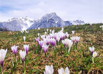
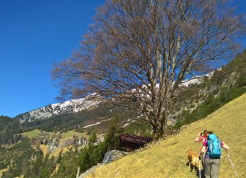
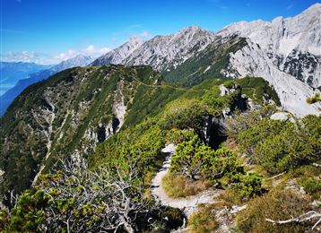
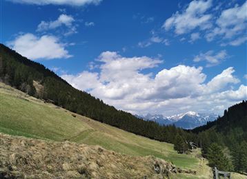
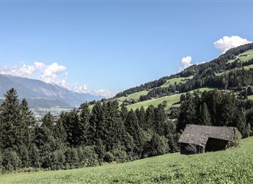
Great hike to warm up on the Tulfer Plateau with views of the Karwendel.


Features & Properties

Stamina

Experience

Landscape

Map & Elevation Profile

Arrival

From Germany: Border crossing Kiefersfelden - Kufstein - about 70 km to Hall via highway A 12 - exit Hall Mitte - federal road (B171) to Tulfes

From Italy: Border crossing Brenner to Innsbruck - 10 km to Hall -> exit Hall Mitte - federal road (B171) to Tulfes

From Switzerland: Landeck

Similar Tour Suggestions

Vue sur Innsbruck

Medium

Hiking

Hiking route

17,00 km

06:00 h

1074 hm

1600 m

Plus haut au-dessus de la Thaurer Alm

Medium

Hiking

Steinkasernalm

Hard

Hiking

Hiking route

9,93 km

02:30 h

934 hm

62 hm

1999 m

Lizumer Hütte, 2019m, Photo : Gerald Aichner

Hard

Hiking

Long-Distance Hiking

60,05 km

23:15 h

2969 hm

4345 hm

2794 m

Zirbenweg

Medium

Hiking

Hiking route

16,14 km

06:00 h

427 hm

1562 hm

2303 m

la croix sommitale de la « Rote Wand »

Medium

Hiking

Hiking route

12,31 km

05:30 h

980 hm

978 hm

2215 m

St. Martin

Easy

Running

Nature Trail

3,78 km

01:05 h

130 hm

16 hm

908 m

Etappe 6 - Karwendel Höhenweg

Hard

Hiking

Long-Distance Hiking

19,57 km

05:30 h

49 hm

835 hm

1766 m