Innradweg

Bike Riding recommended route

Innradweg

Bike Riding · Hall-Wattens
Logo Tourismusverband Region Hall-Wattens
Responsible for this content
Tourismusverband Region Hall-Wattens Verified partner  Explorers Choice 
  • Büro des Tourismusverbandes Hall Wattens
    Büro des Tourismusverbandes Hall Wattens
    Photo: Hall Wattens, Tourismusverband Region Hall-Wattens
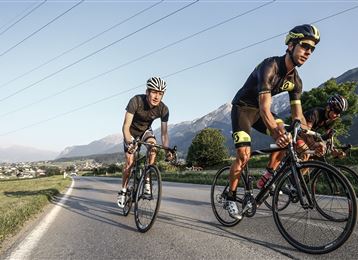
Easy tour. Family Friendly!
easy
Distance 31.9 km
2:30 h
32 m
65 m
575 m
532 m
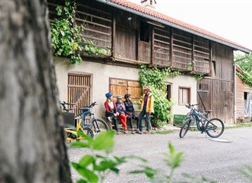
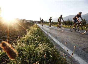
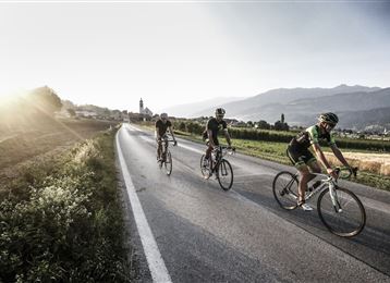
3 countries, famous cities and impressive landscapes!

Author’s recommendation

Hall in Tirol, Innsbruck und Schwaz - diese 3 Städte sollte man nicht nur durchfahren!
Profile picture of Hall Wattens
Author
Hall Wattens
Update: September 30, 2019
Difficulty
easy
Stamina
Experience
Landscape
Highest point
575 m
Lowest point
532 m
Best time of year
Jan
Feb
Mar
Apr
May
Jun
Jul
Aug
Sep
Oct
Nov
Dec

Track types

Show elevation profile

Tips and hints

http://www.hall-wattens.at/

http://www.wattens.com/

http://www.hall-wattens.at/de/innradweg-inntalradweg.html

http://innradweg.com/

Start

Swarovski Kristallwelten Wattens (574 m)
Coordinates:
DD
47.265512, 11.384206
DMS
47°15'55.8"N 11°23'03.1"E
UTM
32T 680356 5237427
w3w 
///outgoing.wells.whoever

Destination

Innsbruck - Goldenes Dach

Turn-by-turn directions

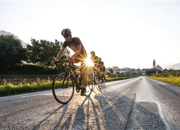
An easy route without no appreciable gradients, family friendly, long sections along the banks of the River Inn, water meadows; through the towns of Kufstein, Rattenberg, Schwaz, Hall in Tirol, innsbruck with their picturesque, historique cores. Links to the Kaiserwinkel, Sölllandl and Zillertall cycle trails.You will find a few nice Alpine snack bars and pubs where you can take a break and refreshments.

Public transport

Public-transport-friendly

Nähere Informationen unter:

www.vvt.at


Coordinates

DD
47.265512, 11.384206
DMS
47°15'55.8"N 11°23'03.1"E
UTM
32T 680356 5237427
w3w 
///outgoing.wells.whoever
Arrival by train, car, foot or bike

Similar routes nearby

  • Vital Radweg vom Patscherkofel zum Glungezer - Route Nord
  • Vital Radweg vom Patscherkofel zum Glungezer - Route Süd
 These suggestions were generated by our system
Difficulty
easy
Distance
31.9 km
Duration
2:30 h
Ascent
32 m
Descent
65 m
Highest point
575 m
Lowest point
532 m
Public-transport-friendly Cultural/historical interest Multi-stage route Scenic Refreshment stops available Family-friendly

Statistics

  • Content
  • Show images Hide images
Features
Maps and trails
  • 1 Waypoints
  • 1 Waypoints
Distance  km
Duration : h
Ascent  m
Descent  m
Highest point  m
Lowest point  m
Push the arrows to change the view

Please wait

Accommodation is searched

Please be patient for a little more time

All data will be loaded in an instant