Herrenhäuser

Mountain Biking recommended route

Herrenhäuser

Mountain Biking · Hall-Wattens
Logo Tourismusverband Region Hall-Wattens
Responsible for this content
Tourismusverband Region Hall-Wattens Verified partner  Explorers Choice 
  • Herrenhäuser
    Herrenhäuser
    Photo: Anne W., Tourismusverband Region Hall-Wattens
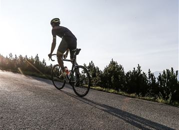
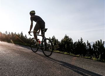
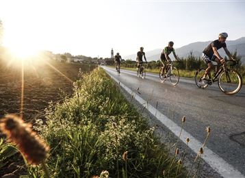
Mountainbike tour through the Halltal
difficult
Distance 5.4 km
1:30 h
753 m
29 m
1,513 m
776 m
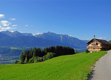
Through the Halltal we follow the road till the old Herrenhäuser.
Profile picture of Hall Wattens
Author
Hall Wattens
Update: October 10, 2023
Difficulty
difficult
Stamina
Experience
Landscape
Highest point
1,513 m
Lowest point
776 m
Best time of year
Jan
Feb
Mar
Apr
May
Jun
Jul
Aug
Sep
Oct
Nov
Dec

Track types

Show elevation profile

Rest stops

Alpengasthof Walderbrücke
St. Magdalena
Alpengasthaus St. Magdalena

Safety information

Bei Niederschlag darf die MTB-Strecke aufgrund Murengefahr nicht gefahren werden!

Tips and hints

http://www.hall-wattens.at/


Start

"Hackl" - Eingang Halltal (776 m)
Coordinates:
DD
47.307460, 11.518490
DMS
47°18'26.9"N 11°31'06.6"E
UTM
32T 690363 5242408
w3w 
///narrating.jurors.unexplained

Destination

Herrenhäuser

Turn-by-turn directions

The route leads from the entrance to the Halltal Valley along the toll road into the valley.

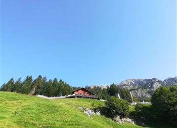
At Bettelwurfeck there is a brief climb with a gradient of approximately 32%, past the turning for Alpengasthaus St. Magdalena guest house. The asphalt road becomes a gravel track at the barrier in the final car park. From here you continue to the Herrenhäusern administrative buildings, which are no longer in use.

Public transport

Public-transport-friendly

Es besteht die Möglichkeit mit der "Linie 502"  den Ausgangspunkt zu erreichen.

Nähere informationen unter:

www.vvt.at

By road

Hall - Absam - Halltal Parkplatz

Parking

Beim Eingang ins Halltal befinden sich Parkmöglichkeiten.


Coordinates

DD
47.307460, 11.518490
DMS
47°18'26.9"N 11°31'06.6"E
UTM
32T 690363 5242408
w3w 
///narrating.jurors.unexplained
Arrival by train, car, foot or bike

Similar routes nearby

  • Neissweg MTB Route 5084 - Verbindung Bogner Aste nach Gnadenwald
  • Hinterhornalm
  • 3 Almentour im Naturpark Karwendel MTB Route 408
  • Transalp - Sektion Hall - Brenner
  • From the Karlskirche to the Steinkasernalm
 These suggestions were generated by our system
Difficulty
difficult
Distance
5.4 km
Duration
1:30 h
Ascent
753 m
Descent
29 m
Highest point
1,513 m
Lowest point
776 m
Public-transport-friendly Refreshment stops available Linear route

Statistics

  • Content
  • Show images Hide images
Features
Maps and trails
  • 5 Waypoints
  • 5 Waypoints
Distance  km
Duration : h
Ascent  m
Descent  m
Highest point  m
Lowest point  m
Push the arrows to change the view

Please wait

Accommodation is searched

Please be patient for a little more time

All data will be loaded in an instant