Fernradweg München Venedig in der Region Hall Wattens

Bicycle Touring recommended route

Fernradweg München Venedig in der Region Hall Wattens

Bicycle Touring · Hall-Wattens
Logo Tourismusverband Region Hall-Wattens
Responsible for this content
Tourismusverband Region Hall-Wattens Verified partner  Explorers Choice 
  • Photo: Hall Wattens, Tourismusverband Region Hall-Wattens
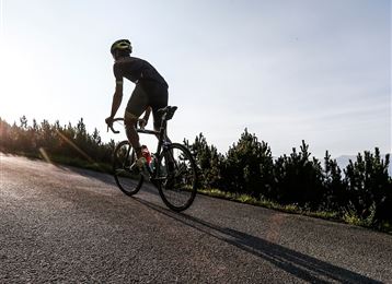
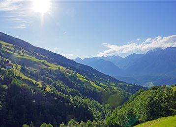
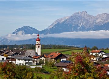
Fahrradfahren verbindet Reisen mit Sport, Länder mit Menschen, Natur mit Kulturerlebnissen und kulinarischen Genüssen. Genussvoll geht es durch drei Länder, drei Klimazonen, alpin-mediterrane Lebenswelten und fünf Erlebnis-Welten. Eine Etappe führt auch durch die Region Hall Wattens.
difficult
Distance 26.4 km
1:50 h
35 m
10 m
574 m
539 m

Author’s recommendation

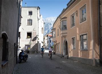
Für den Besuch der Haller Altstadt unbedingt geügend Zeit einplanen.
Profile picture of Hall Wattens
Author
Hall Wattens
Update: April 02, 2021
Difficulty
difficult
Technique
Stamina
Experience
Landscape
Highest point
574 m
Lowest point
539 m
Best time of year
Jan
Feb
Mar
Apr
May
Jun
Jul
Aug
Sep
Oct
Nov
Dec

Track types

Asphalt 48.97%Dirt road 9.21%Forested/wild trail 26.36%Path 0.43%Road 12.51%Unknown 2.50%
Asphalt
12.9 km
Dirt road
2.4 km
Forested/wild trail
7 km
Path
0.1 km
Road
3.3 km
Unknown
0.7 km
Show elevation profile

Start

München (546 m)
Coordinates:
DD
47.325067, 11.679420
DMS
47°19'30.2"N 11°40'45.9"E
UTM
32T 702459 5244770
w3w 
///infects.anagram.anatomy

Destination

Venedig

Turn-by-turn directions

Der Fernradweg München - Venedig führt auch durch die Region Hall Wattens. In der Region ist der Radweg ident mit dem Innradweg und bestens ausgeschildert.

Coordinates

DD
47.325067, 11.679420
DMS
47°19'30.2"N 11°40'45.9"E
UTM
32T 702459 5244770
w3w 
///infects.anagram.anatomy
Arrival by train, car, foot or bike
Difficulty
difficult
Distance
26.4 km
Duration
1:50 h
Ascent
35 m
Descent
10 m
Highest point
574 m
Lowest point
539 m
Multi-stage route Refreshment stops available Cultural/historical interest

Statistics

  • Content
  • Show images Hide images
Features
Maps and trails
Distance  km
Duration : h
Ascent  m
Descent  m
Highest point  m
Lowest point  m
Push the arrows to change the view

Please wait

Accommodation is searched

Please be patient for a little more time

All data will be loaded in an instant