We use cookies for your personalized browsing experience, to personalize content and ads, to provide social media features, and to analyze traffic to our website. We also share information about your use of our website with our social media, advertising and analytics partners. Our partners may combine this information with other data that you have provided to them or that they have collected as part of your use of the Services. (incl. US providers)

Medium

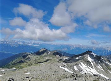
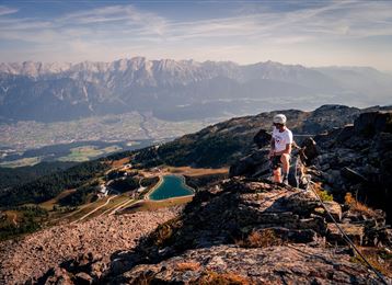
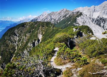
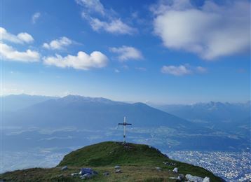
Durch das Viggartal auf den Glungezer

Mountain Hike

10,58 km

05:00 h

1662 hm

46 hm

2672 m

Best Time of Year

Jan

Feb

Mar

Apr

May

Jun

Jul

Aug

Sep

Oct

Nov

Dec

Information

Duch das schattige Mühltal wandert man, anfangs am Bach entlang, hinauf zum Glungezer.

Features & Properties

Stamina

Experience

Landscape

Map & Elevation Profile

Arrival

Innsbruck - Patsch - Ellbögen

Similar Tour Suggestions
Wattental - Möstal - Lizumer Mountain Hut

Medium

Mountain Hike

19,72 km

06:30 h

1123 hm

1085 hm

2435 m

Der Goethe Weg in Tirol

Medium

Mountain Hike

15,87 km

05:55 h

436 hm

1919 hm

2277 m

Vom Halltal über die 3 Zunterköpfe zur Kaisersäule

Hard

Mountain Hike

11,98 km

06:05 h

1236 hm

1382 hm

1964 m

A hike around the Glungezer Summit

Medium

Mountain Hike

11,41 km

04:00 h

722 hm

704 hm

2668 m

Wildangerspitze

Medium

Mountain Hike

14,93 km

07:00 h

1508 hm

1359 hm

2131 m

Kalkwand Umrundung

Hard

Mountain Hike

19,59 km

06:30 h

1194 hm

1802 hm

2516 m

Hippoldspitze

Hard

Mountain Hike

13,74 km

06:30 h

1221 hm

2625 m

Naviser Jöchl

Medium

Mountain Hike

29,31 km

08:00 h

1710 hm

2478 m