We use cookies for your personalized browsing experience, to personalize content and ads, to provide social media features, and to analyze traffic to our website. We also share information about your use of our website with our social media, advertising and analytics partners. Our partners may combine this information with other data that you have provided to them or that they have collected as part of your use of the Services. (incl. US providers)

Easy

Almwanderung Außermelang-Alm

Hiking route

7,81 km

02:45 h

473 hm

1871 m

Best Time of Year

Jan

Feb

Mar

Apr

May

Jun

Jul

Aug

Sep

Oct

Nov

Dec

Information

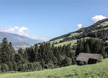
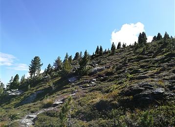
The hike begins at the car park in front of the entrance to Lager Walchen, which can be reached by car from Wattens. Directly at the camp, turn left off the main road onto a dirt track (Wattentaler Zirbenweg). You pass the Stieralm and then enter the forest. After about

Read More...

Features & Properties

Stamina

Experience

Landscape

Map & Elevation Profile

Arrival

Wattens - Wattental - Lager Walchen

Similar Tour Suggestions
Via Alpina - Red trail - From the Inn Valley south

Hard

Long-Distance Hiking

60,05 km

23:15 h

2969 hm

4345 hm

2794 m

Closed
Stage 4 from Thaur to Gnadenwald

Medium

Long-Distance Hiking

16,22 km

07:30 h

1309 hm

1056 hm

1804 m

Panoramic Tour Bärenbader Jöchl

Medium

Hiking route

4,53 km

02:00 h

234 hm

2289 m

Tree path

Easy

Nature Trail

2,17 km

00:35 h

61 hm

67 hm

920 m

Zwugl - Runde am Glungezer

Easy

Nature Trail

1,77 km

00:35 h

76 hm

75 hm

1563 m

Historic Salt Trail

Easy

Nature Trail

5,29 km

02:20 h

717 hm

1494 m

Senselerweg: Zehenter Alm über Naviser Kreuzjoch bis Toldern

Medium

Hiking route

14,68 km

06:30 h

882 hm

1250 hm

2516 m

Durch das Halltal auf das Lafatscherjoch

Hard

Hiking route

17,51 km

07:30 h

1365 hm

2085 m