A toboggan run suitable for families to the Hinterhornalm

Sledding recommended route

A toboggan run suitable for families to the Hinterhornalm

Sledding · Hall-Wattens
Logo Tourismusverband Region Hall-Wattens
Responsible for this content
Tourismusverband Region Hall-Wattens Verified partner  Explorers Choice 
  • Rodeln
    Rodeln
    Photo: Hall Wattens, Tourismusverband Region Hall-Wattens
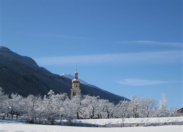
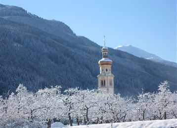
Tobogganing with view over the Inn valley
easy
Distance 2.1 km
0:45 h
223 m
0 m
1,104 m
881 m

If there is now danger because of avalanches it is possible to start the tobogganing at the Hinterhornalm.

Profile picture of Hall Wattens
Author
Hall Wattens
Update: December 01, 2020
Difficulty
easy
Stamina
Experience
Landscape
Highest point
1,104 m
Lowest point
881 m
Best time of year
Jan
Feb
Mar
Apr
May
Jun
Jul
Aug
Sep
Oct
Nov
Dec

Track types

Show elevation profile

Rest stops

Alpenhotel Speckbacher Hof

Start

Parkplatz Hinterhornstrasse - Gnadenwald (881 m)
Coordinates:
DD
47.319580, 11.552740
DMS
47°19'10.5"N 11°33'09.9"E
UTM
32T 692908 5243839
w3w 
///chime.biggest.stereotypes

Destination

Parkplatz Hinterhornstrasse - Gnadenwald

Turn-by-turn directions

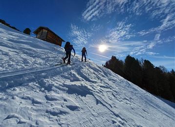
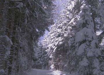
The toboggan run starts at St. Martin (890m) and follows the toll road towards the Hinterhornalm. For the first few metres of altitude gain, the toboggan run winds its way through the forest, followed by longer straights, interrupted occasionally by bends. The inclines are child-friendly, as is evident from the popularity of this toboggan run. Higher up, the forest becomes less compact and magnificent views over the Inn valley and Gnadenwald make the ascent easier. It ends at a bend after an altitude gain of approx. 260m. The descent now follows the uphill route.

Public transport

Public-transport-friendly

It is possible to reach the toboggan run with line 3.

The station "Gnadenwald, St. Martin" is located directly at the starting point.

Parking

Hinterhornstrasse - Gnadenwald

Coordinates

DD
47.319580, 11.552740
DMS
47°19'10.5"N 11°33'09.9"E
UTM
32T 692908 5243839
w3w 
///chime.biggest.stereotypes
Arrival by train, car, foot or bike

Similar routes nearby

  • Tobboganing at Runstboden
  • Tobboganing in the Halltal
  • Illuminated natural tobbogan run at Vögelsberg
  • Tobboganing Volderberg
  • Tobboganing Kreuztaxen
 These suggestions were generated by our system
Difficulty
easy
Distance
2.1 km
Duration
0:45 h
Ascent
223 m
Highest point
1,104 m
Lowest point
881 m
Public-transport-friendly Scenic Refreshment stops available Family-friendly Public dirt road

Statistics

  • Content
  • Show images Hide images
Features
Maps and trails
  • 1 Waypoints
  • 1 Waypoints
Distance  km
Duration : h
Ascent  m
Descent  m
Highest point  m
Lowest point  m
Push the arrows to change the view

Please wait

Accommodation is searched

Please be patient for a little more time

All data will be loaded in an instant