Medio

Percorso ad anello Halltal - Issanger

Escursione

13,70 km

05:10 h

897 hm

1668 m

Migliore stagione

Gen

Feb

Mar

Apr

Mag

Giu

Lug

Ago

Set

Ott

Nov

Dic

Informazioni

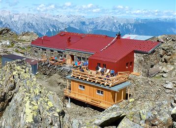
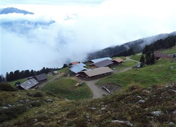
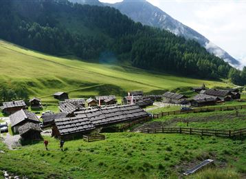
Se il sentiero inizia tra le aspre catene montuose, la valle della Hall si allarga alla fine e poco prima del Lafatscher Joch si incontra il gioiello Issanger. 

Caratteristiche e proprietà

Resistenza

Esperienza

Paesaggio

Mappa e profilo altimetrico

Arrivo

Ausfahrt Hall Mitte - hinauf nach Absam

Proposte di tour simili

Entlang des Voldertalbaches zur Steinkasernalm

Medio

Escursione

9,55 km

02:30 h

907 hm

24 hm

1999 m

Von Mils über Baumkirchen nach Fritzens

Facile

Escursione

6,28 km

01:40 h

45 hm

69 hm

658 m

Über die Zunterköpfe oberhalb von Thaur

Difficile

Escursione

11,32 km

05:30 h

1271 hm

1272 hm

1963 m

Auf das Walderjoch

Medio

Escursione

12,80 km

04:30 h

741 hm

1630 m

Senselerweg: Vom Pfitscherjochhaus zur Brixnerhütte

Difficile

Trekking

16,26 km

09:30 h

1440 hm

1460 hm

2636 m

Senselerweg: Geraerhütte über Alpeinerscharte zum Pfitscherjochhaus

Difficile

Zum Alpengasthaus St. Magdalena im Halltal

Facile

Escursione

7,17 km

04:00 h

516 hm

1288 m

Von der Tulfeinalm auf den Schartenkogel

Facile

Escursione

4,26 km

04:00 h

273 hm

2309 m