Medio

Haneburger

Escursione

11,84 km

07:00 h

1205 hm

1481 hm

2579 m

Migliore stagione

Gen

Feb

Mar

Apr

Mag

Giu

Lug

Ago

Set

Ott

Nov

Dic

Caratteristiche e proprietà

Resistenza

Esperienza

Paesaggio

Mappa e profilo altimetrico

Arrivo

Volder - Voldertal - Volderwildbad Parkplatz

Proposte di tour simili

Rifugio Ganalm – Rifugio Walderalm – Percorso ad anello

Difficile

Strada panoramica Hinterhornalm - Walderalm

Facile

Escursione

3,58 km

01:20 h

243 hm

1630 m

Von Volderwildbad zur Largozalm

Medio

Escursione

8,24 km

03:30 h

822 hm

835 hm

1933 m

Entlang des Voldertalbaches zur Steinkasernalm

Medio

Escursione

9,55 km

02:30 h

907 hm

24 hm

1999 m

Escursione varia lungo il sentiero Adolf Pichler

Facile

Escursione

11,29 km

03:00 h

360 hm

232 hm

953 m

Il sentiero in quota sulla valle dell'Inn

Medio

Trekking

75,75 km

30:40 h

4967 hm

4529 hm

2794 m

Chiuso
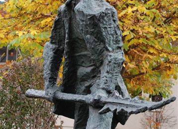
Milser Skulpturenweg

Facile

Sentiero tematico

2,14 km

00:30 h

20 hm

652 m

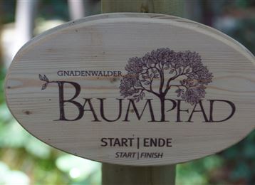
Baumpfad

Facile

Sentiero tematico

2,17 km

00:35 h

61 hm

67 hm

920 m