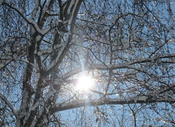
Tobogganing in the Mölstal/Wattenberg

Sledding recommended route

Tobogganing in the Mölstal/Wattenberg

Sledding · Hall-Wattens
Logo Tourismusverband Region Hall-Wattens
Responsible for this content
Tourismusverband Region Hall-Wattens Verified partner  Explorers Choice 
  • Winter
    Winter
    Photo: Hall Wattens, Tourismusverband Region Hall-Wattens
A leisurely slide into the Möls valley
easy
Distance 3 km
3:00 h
411 m
0 m
1,854 m
1,443 m
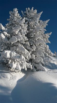
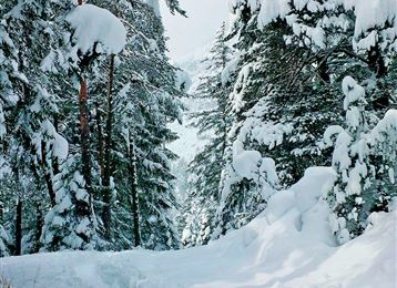
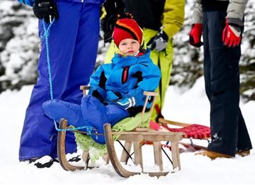
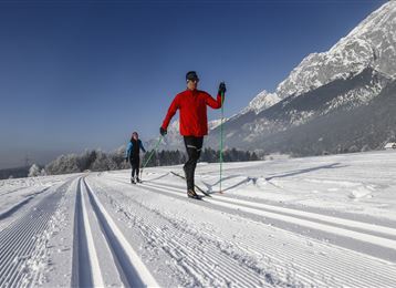
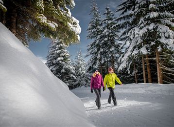
This natural toboggan run is a real winter fairytale.
Profile picture of Hall Wattens
Author
Hall Wattens
Update: April 03, 2023
Difficulty
easy
Stamina
Experience
Landscape
Highest point
1,854 m
Lowest point
1,443 m
Best time of year
Jan
Feb
Mar
Apr
May
Jun
Jul
Aug
Sep
Oct
Nov
Dec

Track types

Show elevation profile

Safety information

Caution: You are in a military restricted area - pay attention to information boards and shooting times!

In case of intensive snowfall, pay attention to the avalanche situation!

Start

Lager Walchen - Wattenberg (1,443 m)
Coordinates:
DD
47.205450, 11.627070
DMS
47°12'19.6"N 11°37'37.5"E
UTM
32T 698952 5231343
w3w 
///abashed.affiliates.dittos

Destination

Lager Walchen - Wattenberg

Turn-by-turn directions

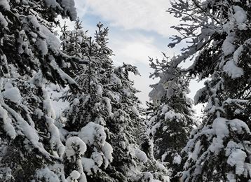
Start from the car-park and follow the path through Walcher Camp (1,410m) and then turn right into the Möls valley (Mölstal). This nice, wide toboggan run runs west through dense forest and the first steep section is soon over. A magnificent view over the Möls-Niederleger (lower pasture) as the valley opens out. This valley goes way back into the mountains and, subject to the track and its condition, the tour can be extended to just below the Möls-Niederleger.

By road

A12- Wattens - Wattenberg - Lager Walchen

Parking

Lager Walchen

Coordinates

DD
47.205450, 11.627070
DMS
47°12'19.6"N 11°37'37.5"E
UTM
32T 698952 5231343
w3w 
///abashed.affiliates.dittos
Arrival by train, car, foot or bike

Similar routes nearby

  • Tobboganing Volderberg
  • Tobboganing Kreuztaxen
  • Rodelbahn am Glungezer
  • Illuminated natural tobbogan run at Vögelsberg
  • A toboggan run suitable for families to the Hinterhornalm
 These suggestions were generated by our system
Difficulty
easy
Distance
3 km
Duration
3:00 h
Ascent
411 m
Highest point
1,854 m
Lowest point
1,443 m
Scenic Family-friendly Insider tip continuous section

Statistics

  • Content
  • Show images Hide images
Features
Maps and trails
Distance  km
Duration : h
Ascent  m
Descent  m
Highest point  m
Lowest point  m
Push the arrows to change the view

Please wait

Accommodation is searched

Please be patient for a little more time

All data will be loaded in an instant