We use cookies for your personalized browsing experience, to personalize content and ads, to provide social media features, and to analyze traffic to our website. We also share information about your use of our website with our social media, advertising and analytics partners. Our partners may combine this information with other data that you have provided to them or that they have collected as part of your use of the Services. (incl. US providers)
Easy

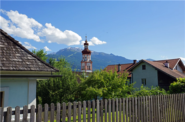
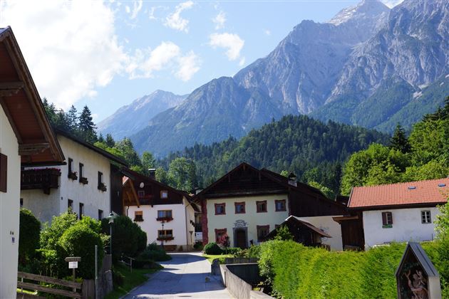
Von Mils über Baumkirchen nach Fritzens

Hiking route

6,28 km

01:40 h

45 hm

69 hm

658 m

Best Time of Year

Jan

Feb

Mar

Apr

May

Jun

Jul

Aug

Sep

Oct

Nov

Dec

Information

Von Dorf zu Dorf geht es bei dieser gemütlichen Wanderung.

Features & Properties

Stamina

Experience

Landscape

Map & Elevation Profile

Similar Tour Suggestions

To the healing water of the Maria Larch Chapel

Easy

Hiking route

12,14 km

02:30 h

359 hm

354 hm

869 m

Piepmatzweg

Easy

Nature Trail

2,06 km

01:30 h

301 hm

873 m

Entlang des Voldertalbaches zur Steinkasernalm

Medium

Hiking route

9,55 km

02:30 h

907 hm

24 hm

1999 m

Vom Schlosshof auf die Thaurer Alm

Medium

Hiking route

7,31 km

04:15 h

636 hm

635 hm

1462 m

Von Rinn über die Rinner Alm zur Kriegerkapelle

Medium

Hiking route

11,12 km

04:00 h

759 hm

772 hm

1740 m

Egger Hütten Runde

Hard

Hiking route

6,81 km

04:30 h

579 hm

1308 m

Zum Wasserradl

Easy

Nature Trail

2,58 km

00:47 h

86 hm

80 hm

1009 m