We use cookies for your personalized browsing experience, to personalize content and ads, to provide social media features, and to analyze traffic to our website. We also share information about your use of our website with our social media, advertising and analytics partners. Our partners may combine this information with other data that you have provided to them or that they have collected as part of your use of the Services. (incl. US providers)
Medium

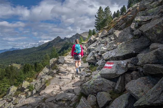
Viggarspitze

Hiking route

16,14 km

06:00 h

427 hm

1562 hm

2303 m

Best Time of Year

Jan

Feb

Mar

Apr

May

Jun

Jul

Aug

Sep

Oct

Nov

Dec

Features & Properties

Stamina

Experience

Skill

Landscape

Map & Elevation Profile

Arrival

Tulfes - Glungezerbahn

Similar Tour Suggestions

The Eagles' Way (Adlerweg) – Alpine Roses, Stone Pines, Nutcrackers

Medium

Long-Distance Hiking

7,83 km

02:25 h

201 hm

105 hm

2061 m

Poltentalrunde im Frühjahr

Easy

Hiking route

5,78 km

01:45 h

203 hm

994 m

Vom Schlosshof auf die Thaurer Alm

Medium

Hiking route

7,31 km

04:15 h

636 hm

635 hm

1462 m

Die Neunerspitz` Runde

Hard

Hiking route

10,87 km

04:00 h

794 hm

793 hm

2668 m

Romedius Pilgrim`s Way

Medium

Pilgrim Walk

23,86 km

08:15 h

1049 hm

878 hm

977 m

Munich - Venice: From the Glungezer Hut to the Lizumer Hut

Hard

Long-Distance Hiking

15,81 km

07:25 h

1059 hm

1651 hm

2794 m

To the healing water of the Maria Larch Chapel

Easy

Hiking route

12,14 km

02:30 h

359 hm

354 hm

869 m

Zwugl - Runde am Glungezer

Easy

Nature Trail

1,77 km

00:35 h

76 hm

75 hm

1563 m